Why here
At the meeting of the Yanshan passes and North China Plain, Beijing faces steppe, farmland and canal terminus.
CITY ATLAS / 05
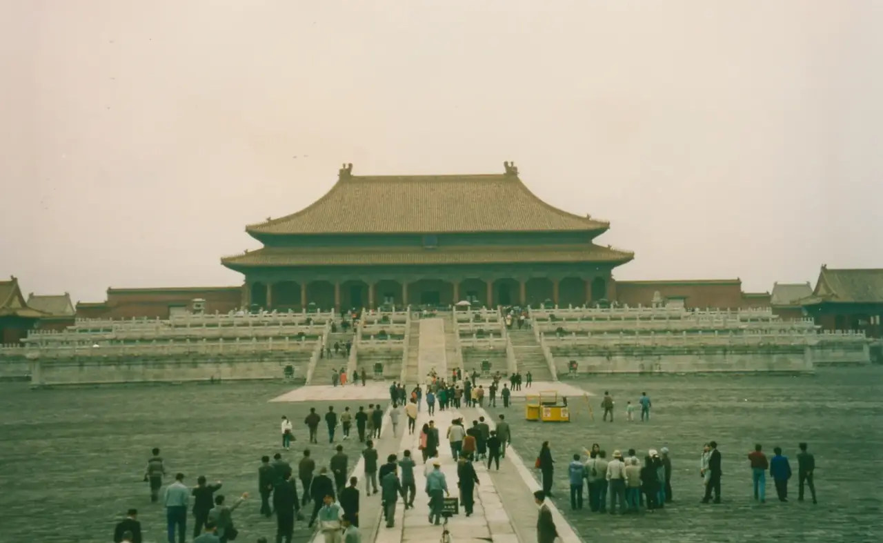
From Yuan-era planning through Ming and Qing ensembles to public use today, Beijing’s Central Axis remains a legible urban framework.
READING GUIDE
Start with the long-term force shaping the city, then move into chronology, urban systems and surviving evidence.
01 / Chapter
Palaces, ritual structures, public buildings and roads form a north–south whole rather than isolated landmarks. They reveal a planning ideal and changing public functions. Zhongguancun offers a different, contemporary model of urban organization.
THREE LENSES / THREE LENSES
Geography sets conditions, turning points redirect the path, and daily life carries long memory.
At the meeting of the Yanshan passes and North China Plain, Beijing faces steppe, farmland and canal terminus.
Yuan, Ming and Qing planning translated power into an axis of palace city, temples and ritual sites.
Hutong life, civic architecture and new urban axes continue to negotiate the capital’s historical scale.
CITY HISTORY / 城市时间
The Central Axis is a strong way into Beijing’s history, but not its whole story. Waterways, neighborhoods, public space and research districts also shape the city.
The region developed as an important northern settlement.
Yuan Dadu was built and the axis established.
Capital building extended the axial scheme.
The urban framework was inherited and adjusted.
Some imperial spaces opened as parks and museums.
Heritage protection and innovation districts coexist.
01 / Orientation
People lived in the Beijing region long before the Central Axis. The building of Yuan Dadu made it the capital of a unified dynasty and established an urban framework with lasting influence. Work beginning in 1267 arranged a center, roads, palace precincts and water systems.
The axis is more than a line one can walk. It organizes gates, ceremonial sites and orientation. Places along it were built and used at different times, so their histories should not be flattened into one moment.
02 / Capital
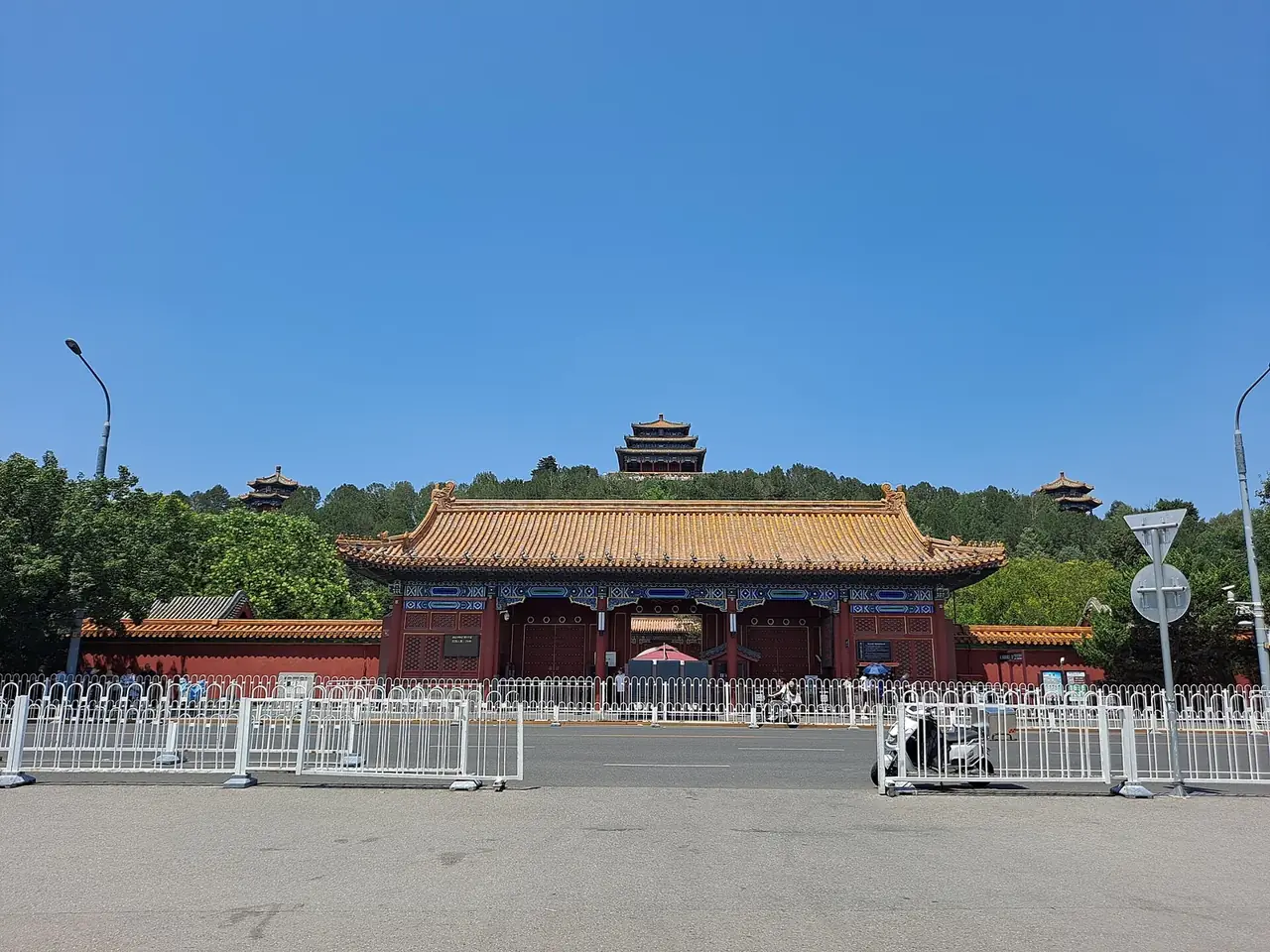
After the Ming court moved to Beijing, builders reshaped the Yuan city. Palace, inner city, ritual sites and outer city appeared over time. By the sixteenth century, the north–south sequence from the Bell and Drum Towers to Yongding Gate had largely taken shape. Qing rulers inherited and adjusted it.
UNESCO treats the Central Axis as a building ensemble expressing a capital’s ideal order. Palaces, ritual structures, management facilities, public buildings and roads work together; no single hall can explain the whole city.
03 / Transition
In the modern era, the uses of many axial spaces changed. Beijing’s planning authority identifies the 1914 opening of the former Altar of Land and Grain as Central Park as an early marker. More royal sites gradually became parks, museums and public squares.
The buildings remained, but their users and meanings changed. The history of Beijing also includes the tensions among conservation, circulation, neighborhood life and large civic spaces.
04 / Contemporary
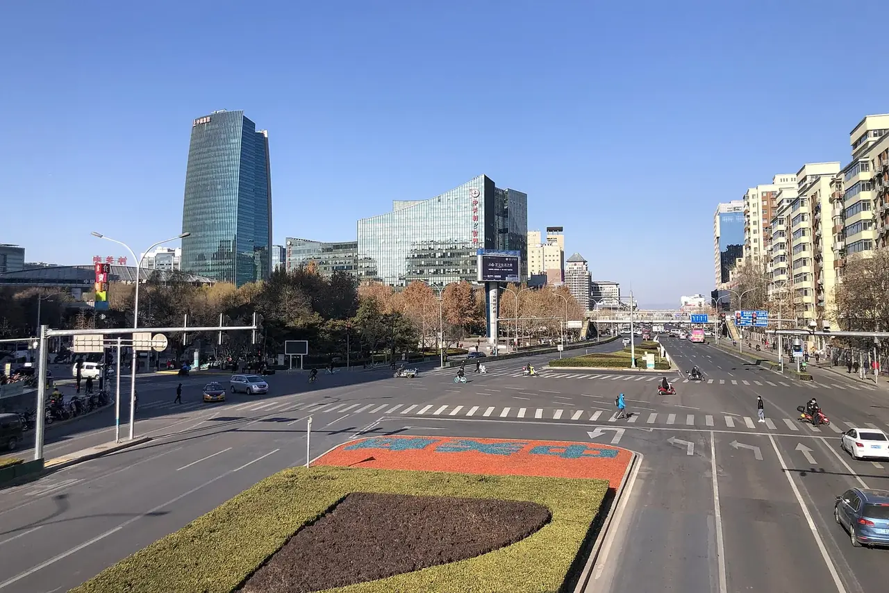
Beijing today is not organized solely by its historic axis. Zhongguancun Science City concentrates universities, research institutes, enterprises and innovation services. It offers another answer to the question of how a city gathers resources.
There is no need to claim a direct lineage from ceremonial planning to high-tech industry. Seeing the two systems together helps us read Beijing as both a city preserving past forms and a city continually changing.
02 / Urban system
The historical axis and modern innovation district illustrate different systems within one city.
A north–south axis gives the capital a framework.
Palaces, ritual sites and public buildings form a whole.
Historic functions shift toward public use.
Research and industry form new networks.
03 / Selected exhibits
Open an exhibit to see how it supports the chapter.
Originating in the Yuan dynasty and developed through Ming and Qing, this ensemble records capital planning traditions.
See references ↓Buildings and roads together create a spatial order larger than any one landmark.
See references ↓The long waterway linking Beijing and Zhejiang reveals the capital’s wider transport connections.
See references ↓Universities, institutes and companies form a contemporary innovation network.
See references ↓04 / IN ONE SENTENCE
05 / Sources
References support the historical facts, heritage information and city data used in this chapter. Photo creators, licenses and original files appear in the image credits.
Images resized and converted; display may be cropped.
Explore another
Related by geographic region and historical themes rather than random recommendation.
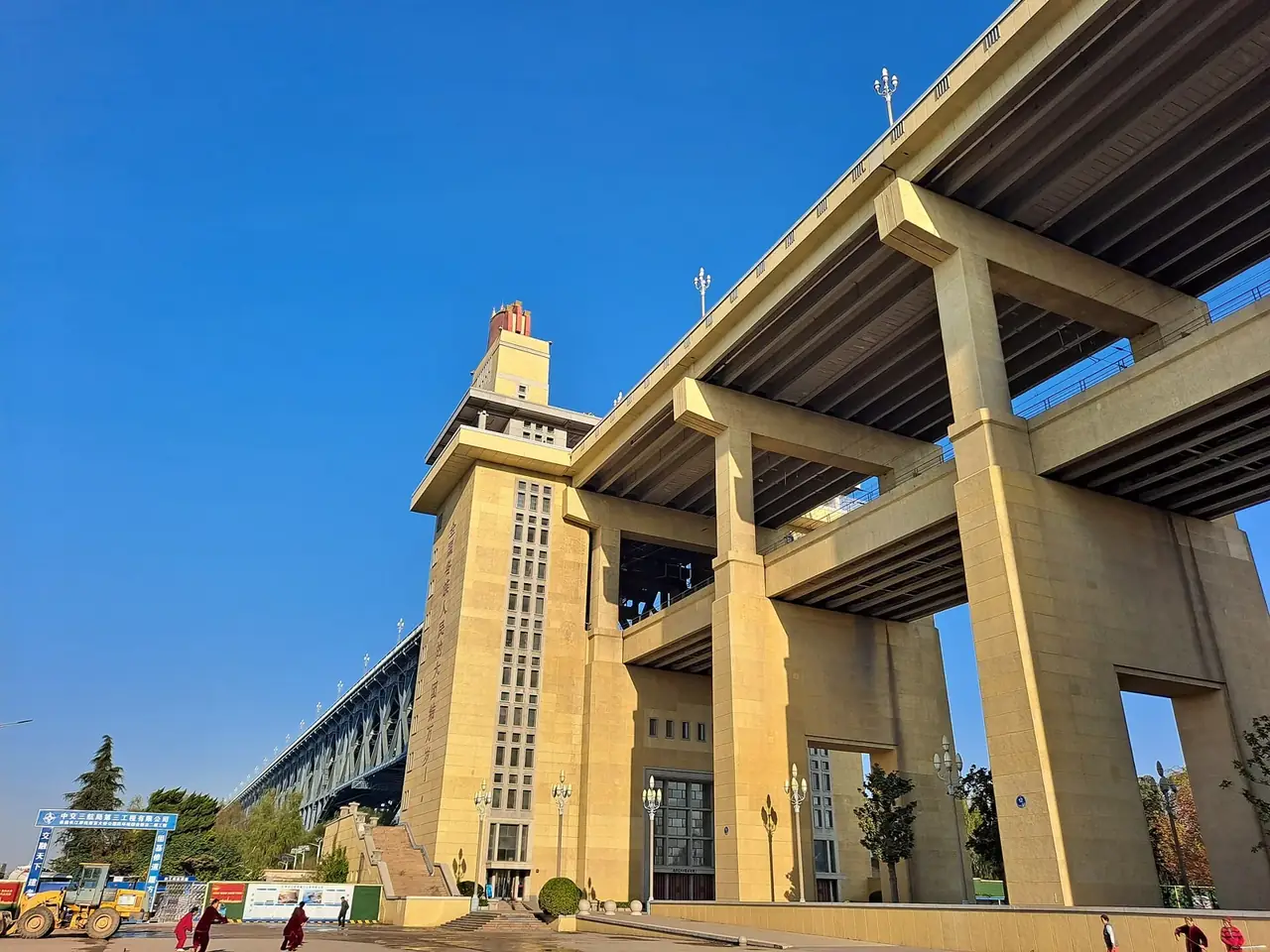
How does Nanjing live with its river and its memory?
Open chapter ↗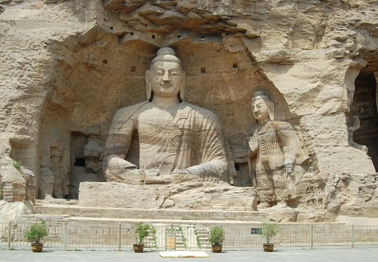
How did frontier pressure make Datong repeatedly rebuild order?
Open chapter ↗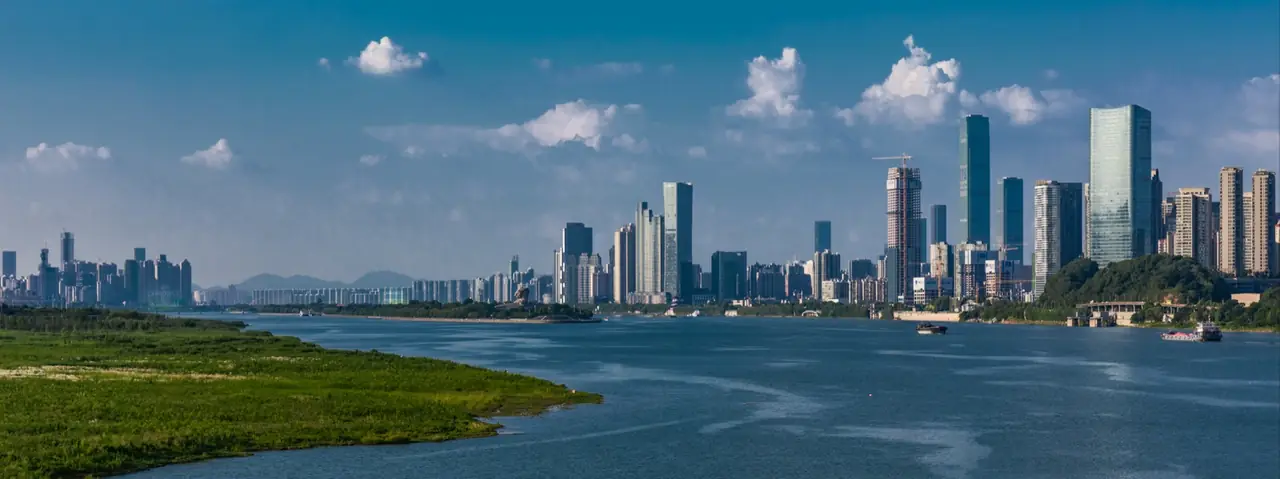
Why does Changsha repeatedly turn local culture into public expression?
Open chapter ↗


