Ports and exchange
Along the coast
Follow maritime cities from Song–Yuan trade and diaspora networks to treaty ports and manufacturing metropolises.
Open reading route ↗FROM THE EDITORS
Lixiangzhai takes the city as its scale of observation, tracing how geography, historical turns, infrastructure and everyday life shape urban China today.
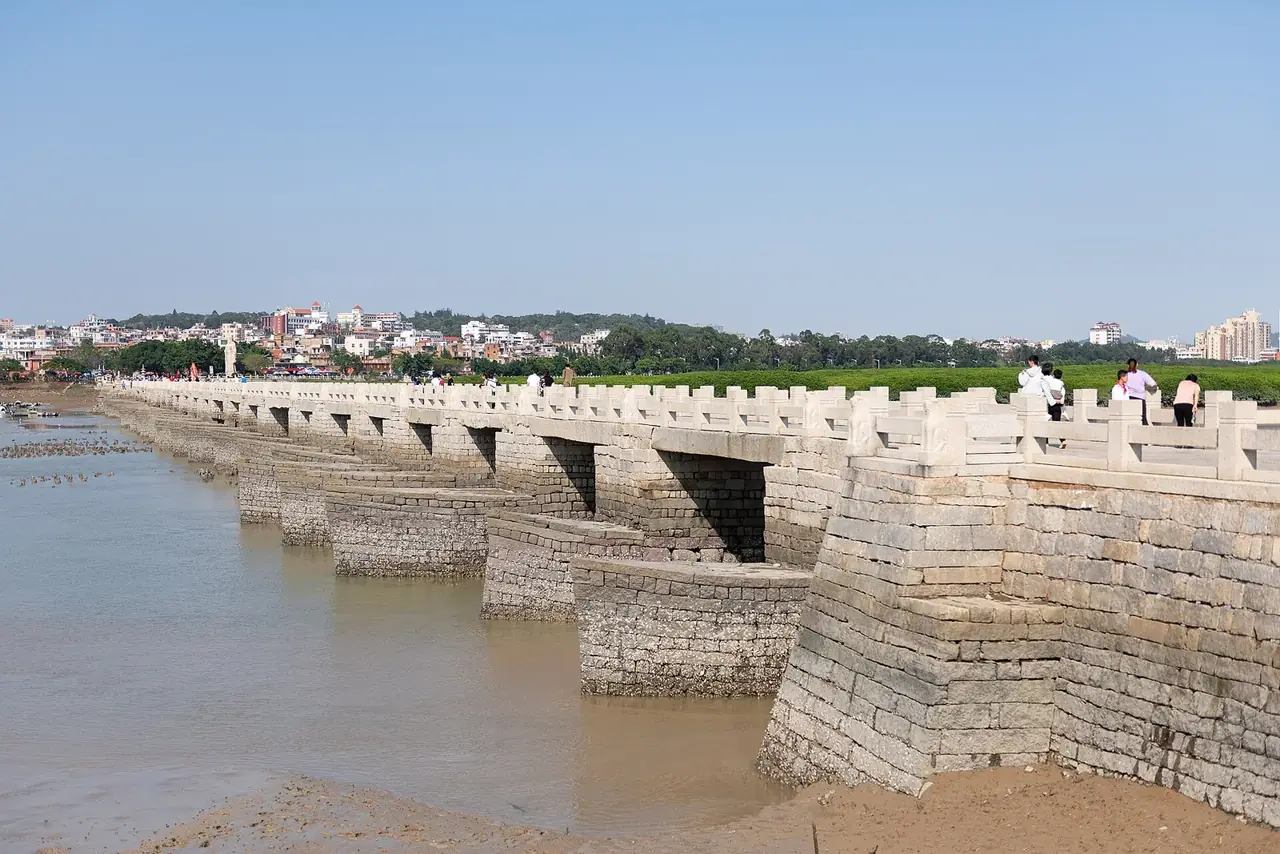
How did one port bring the world to Quanzhou?
READ CHAPTER ↗EDITORIAL APPROACH / How to read
We begin with a map, a question and verifiable evidence, then read monuments, streets, transport, craft and ordinary lives as parts of the same urban story.
Landscapes, coasts and routes set the city’s first conditions.
War, trade, infrastructure and migration redirect its course.
Streets, craft and daily routines preserve the scale of history.
00 / GEOGRAPHIC & RELATIONSHIP INDEX
Begin with location, then choose a relationship route to compare how water, ports, power, migration and landscape shape different cities.
Schematic coordinates support navigation and do not represent administrative boundaries. Select a route to connect cities by one shared theme.
BROWSE BY REGION
CITY RELATIONSHIP ROUTES
01 / City chapters
Enter by name, region or theme, or use the map to discover relationships between cities.
Showing 30 city chapters
How did one port bring the world to Quanzhou?
Open chapter ↗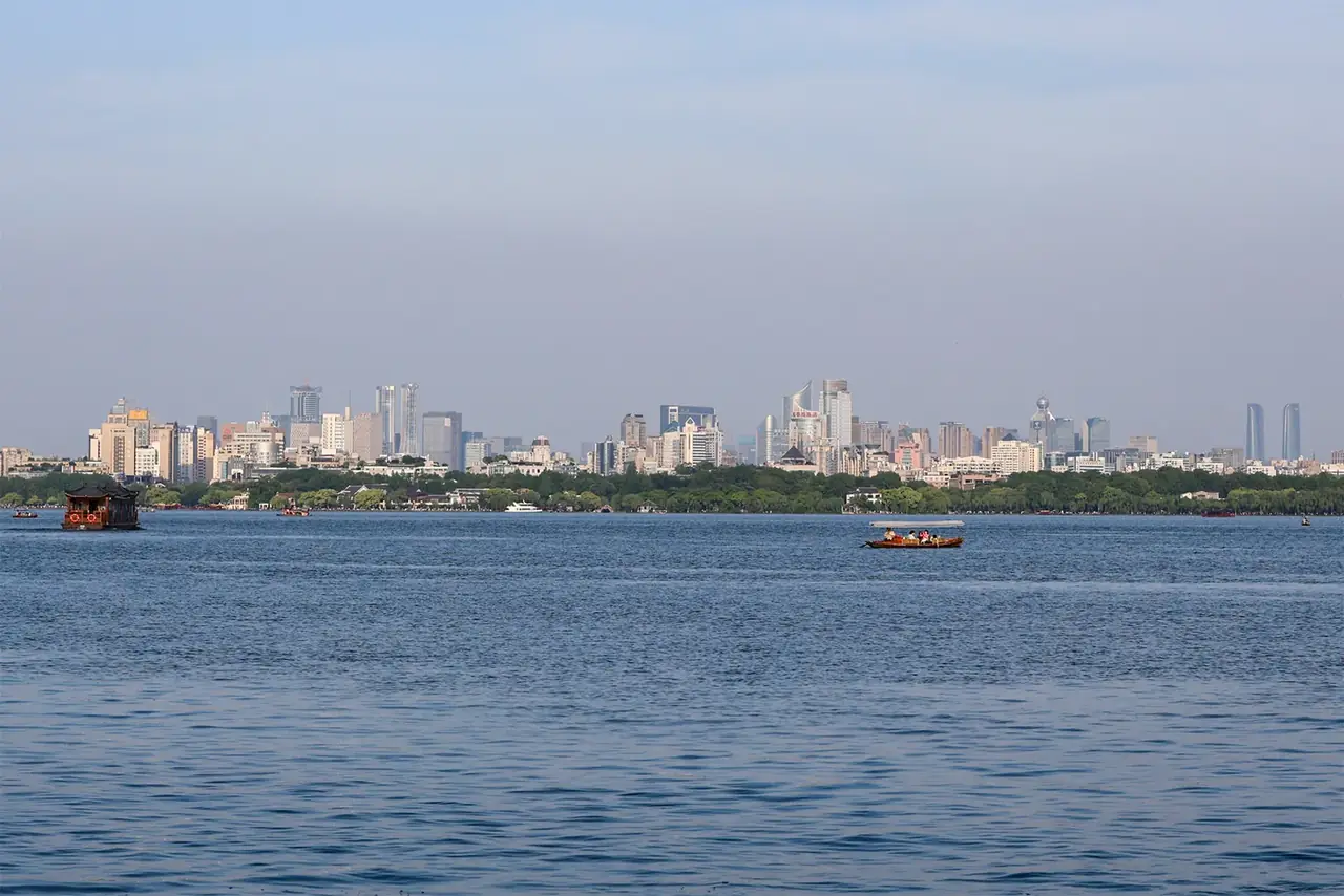
How did water become Hangzhou’s imagination?
Open chapter ↗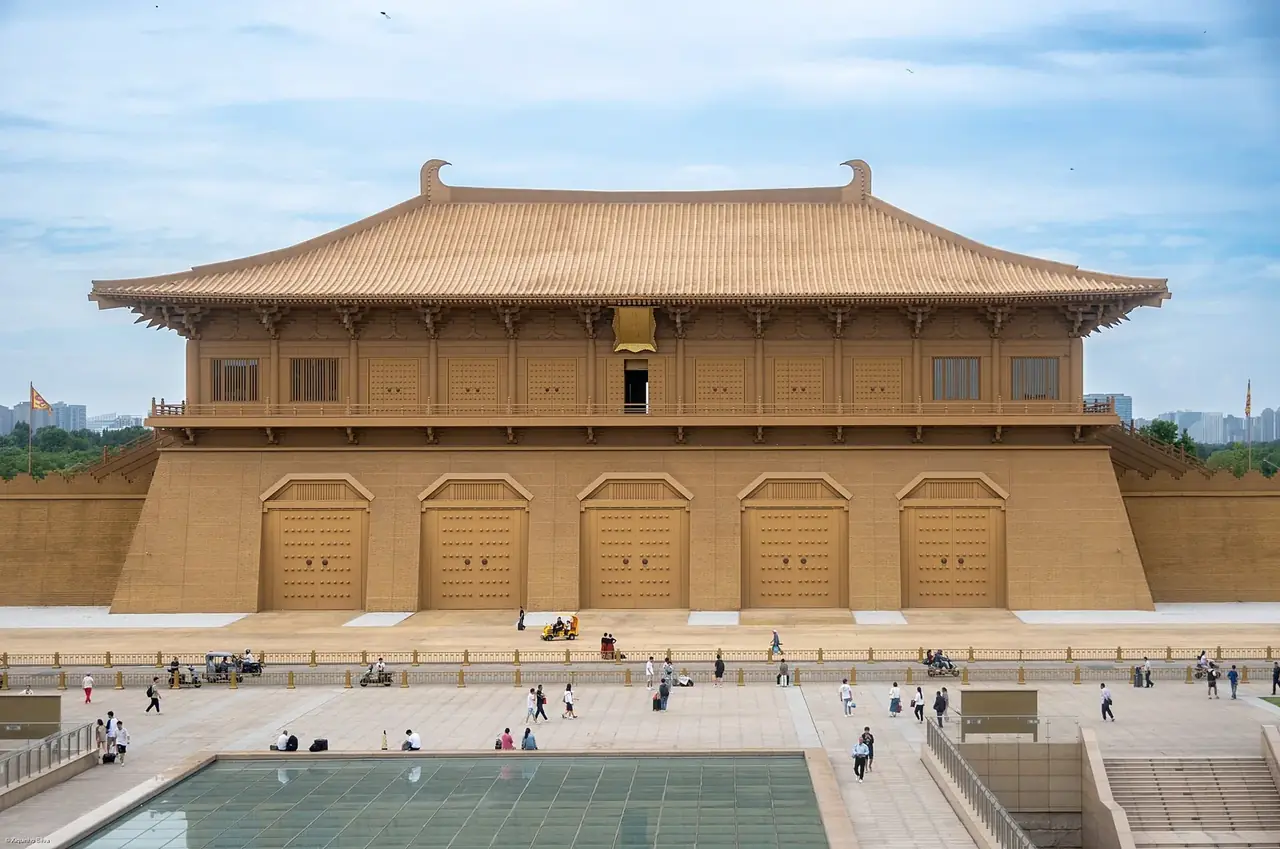
Why did Chang’an become a point of departure?
Open chapter ↗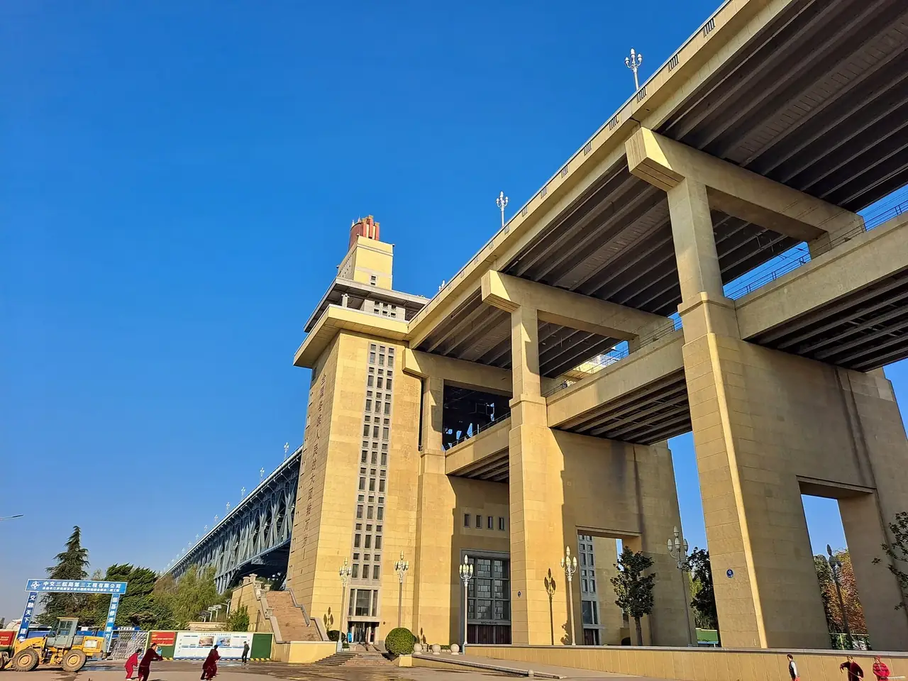
How does Nanjing live with its river and its memory?
Open chapter ↗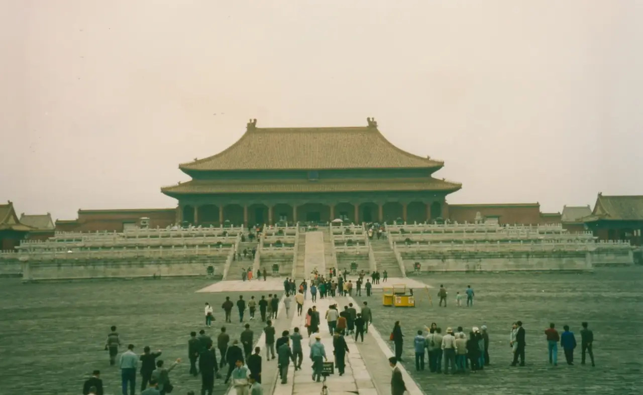
How can one axis organize a capital?
Open chapter ↗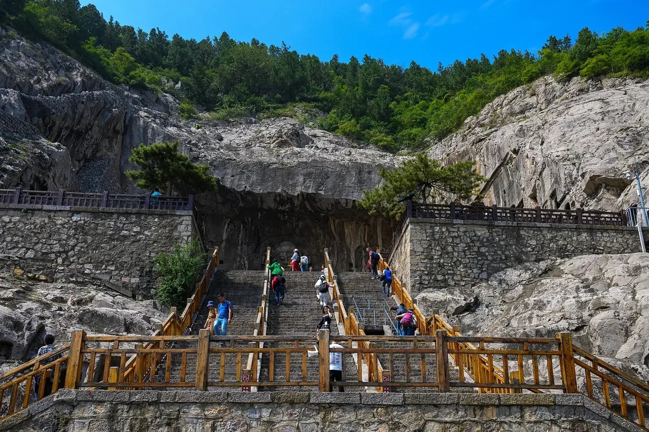
How did Luoyang carve exchange into gates and cliffs?
Open chapter ↗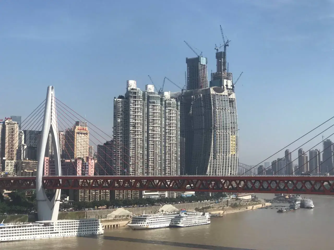
How did Chongqing turn steep terrain into a city of arrival?
Open chapter ↗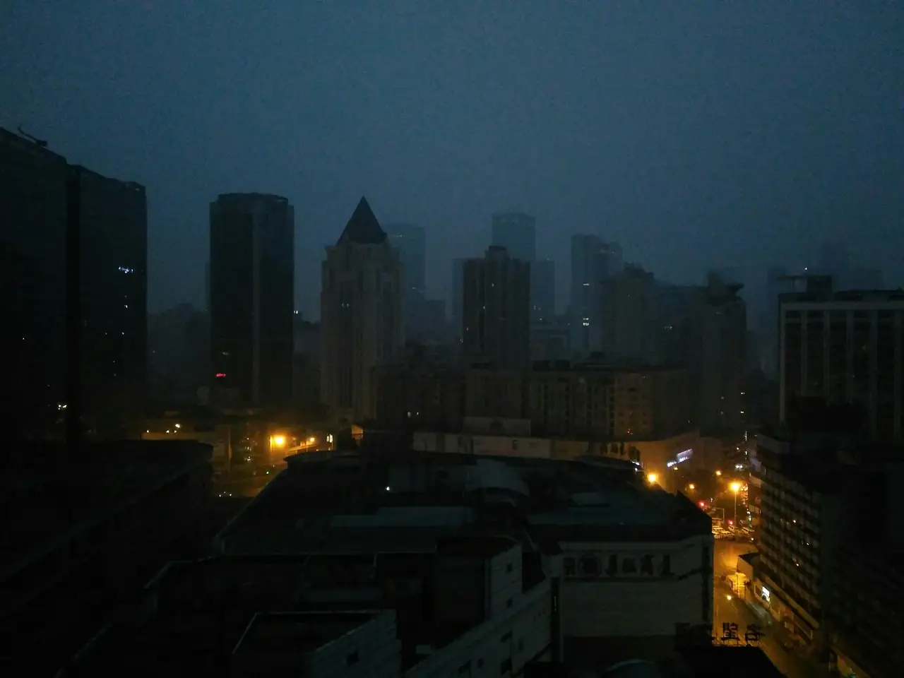
How did water management and markets sustain Chengdu?
Open chapter ↗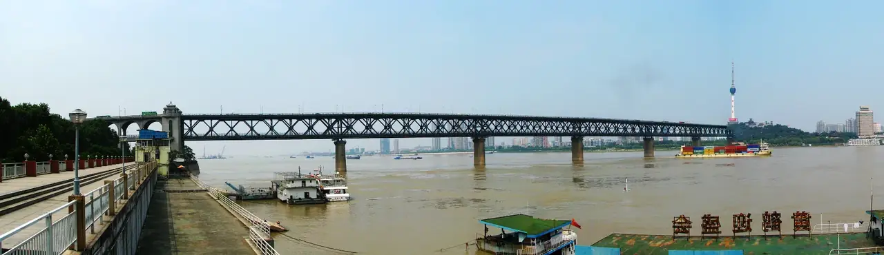
How were three towns stitched into one transport hub?
Open chapter ↗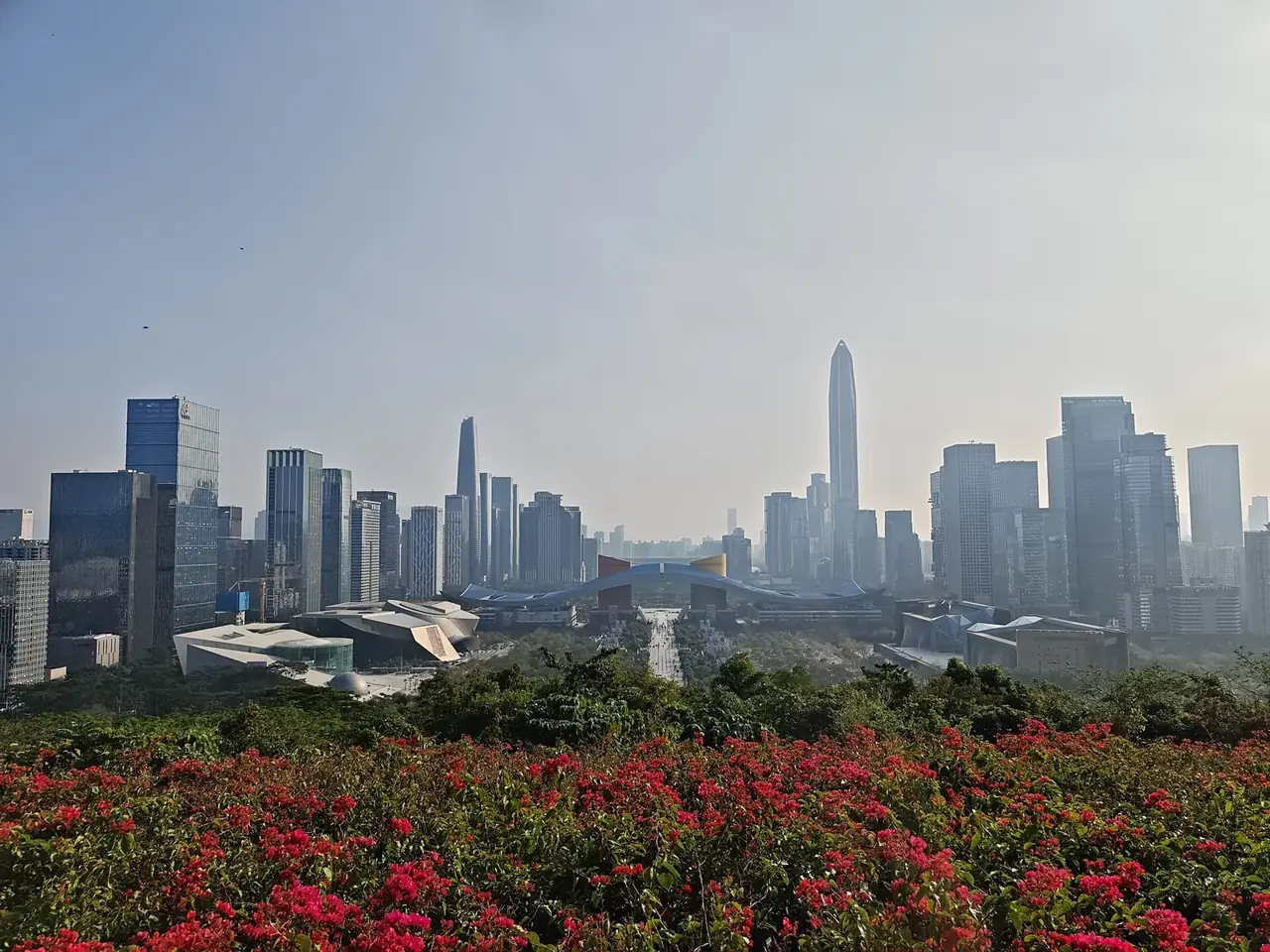
How did movement of people become Shenzhen’s capacity to innovate?
Open chapter ↗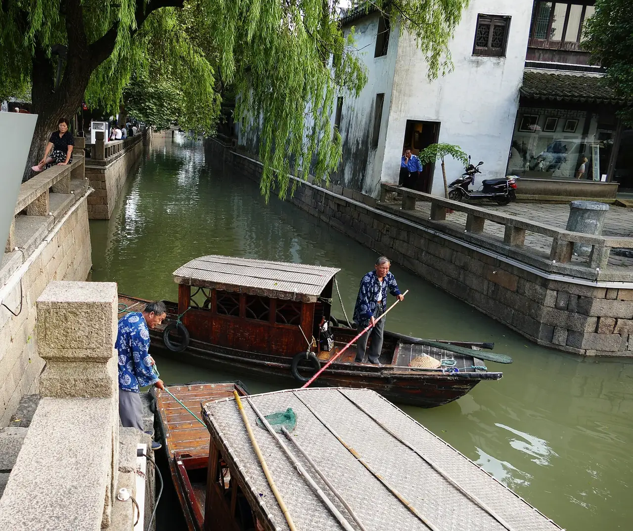
How did Suzhou preserve the scale of work and life within a water network?
Open chapter ↗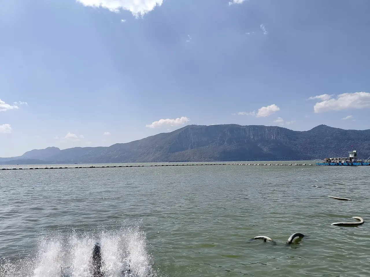
How did Kunming become a gateway between the plateau and southern worlds?
Open chapter ↗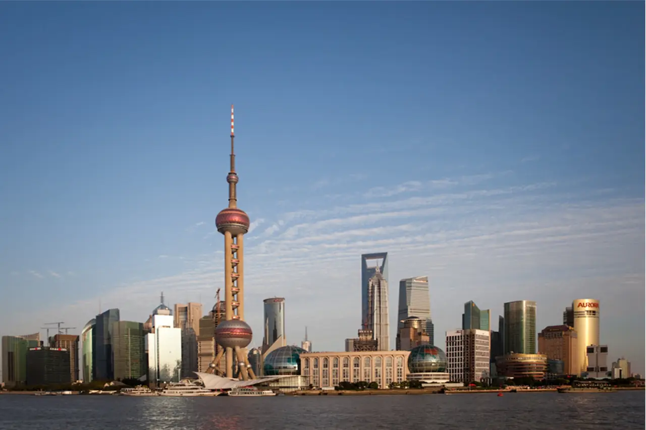
How did Shanghai organize constant arrivals into a world city?
Open chapter ↗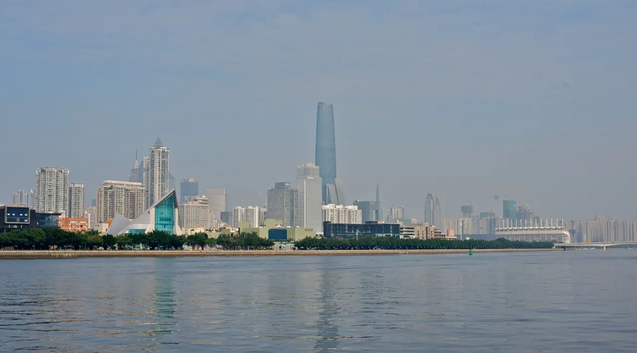
How has Guangzhou renewed overseas trade for two millennia?
Open chapter ↗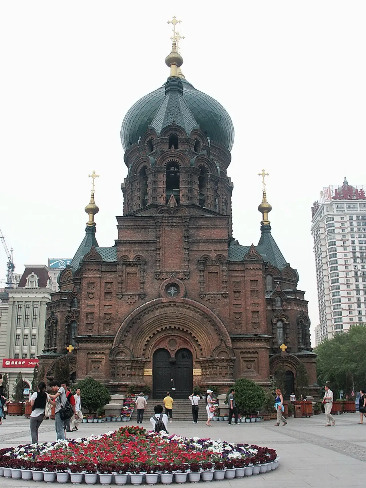
How did a railway gather Harbin in a northern climate?
Open chapter ↗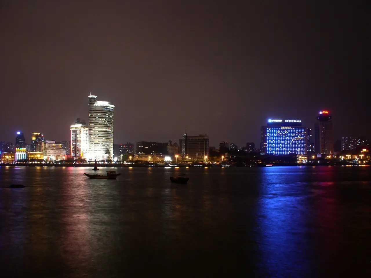
How did the strait and Southeast Asian diaspora enter Xiamen’s daily life?
Open chapter ↗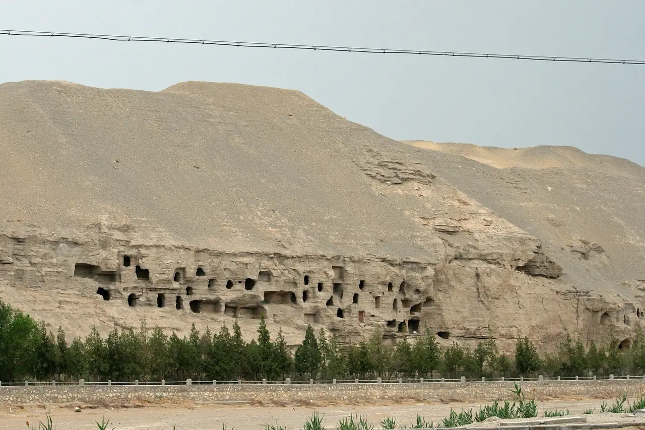
Why did world cultures leave such dense traces in Dunhuang?
Open chapter ↗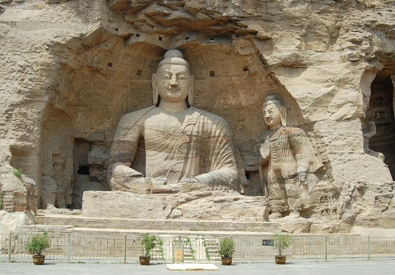
How did frontier pressure make Datong repeatedly rebuild order?
Open chapter ↗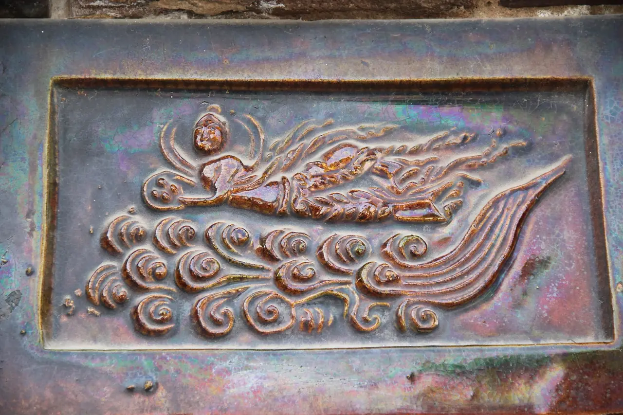
How did Kaifeng reach an urban peak between prosperity and flood?
Open chapter ↗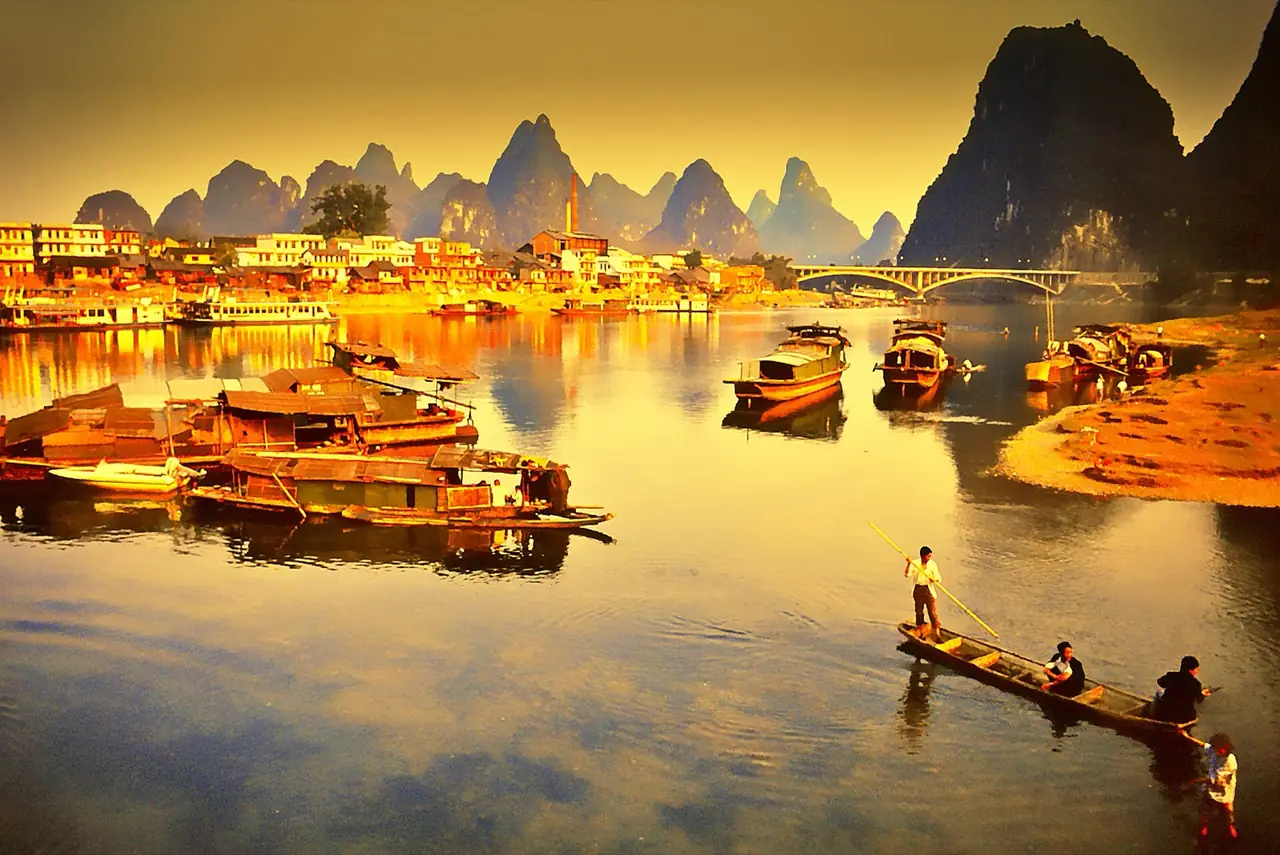
How did Guilin turn unusual geology into a shared image of Chinese landscape?
Open chapter ↗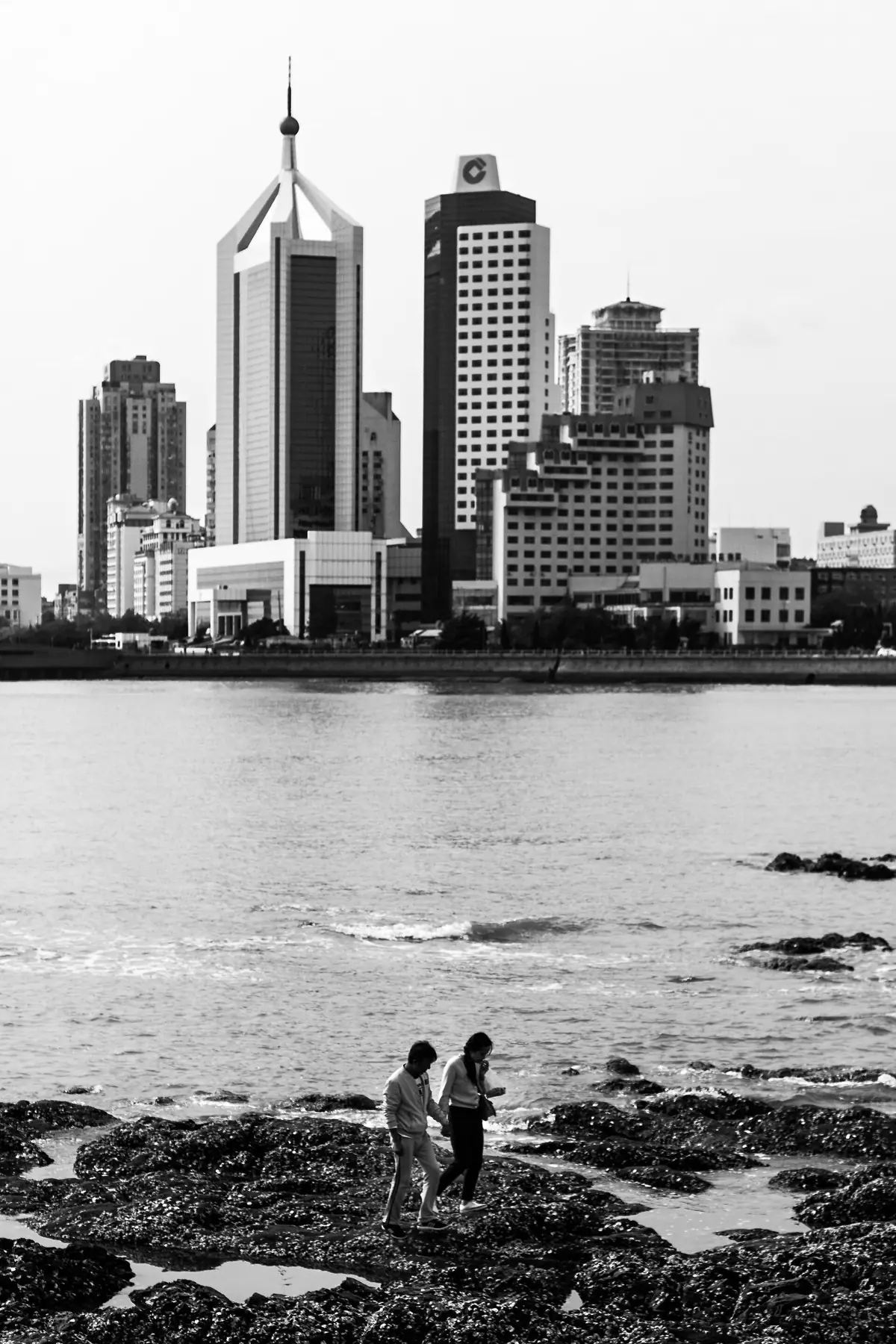
How did Qingdao turn an imposed port plan into its own urban life?
Open chapter ↗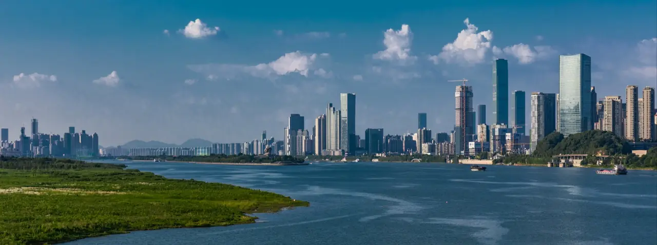
Why does Changsha repeatedly turn local culture into public expression?
Open chapter ↗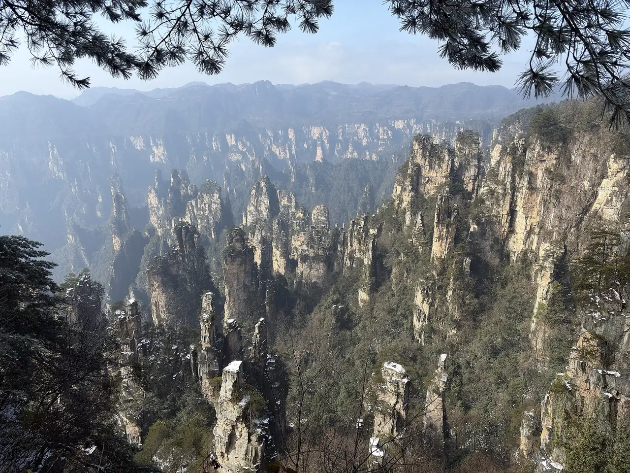
How did Zhangjiajie become a gateway through which the world encounters China’s landscapes?
Open chapter ↗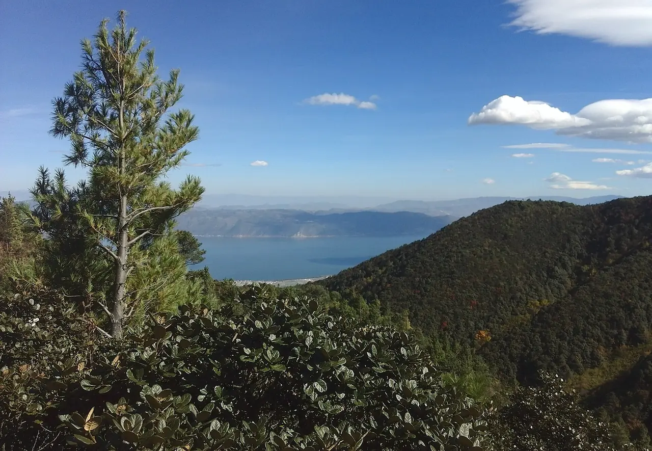
How did a highland lake basin sustain Dali as a cultural center across centuries?
Open chapter ↗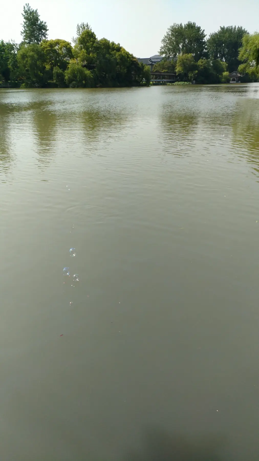
How did Yangzhou turn canal wealth into a refined and open urban culture?
Open chapter ↗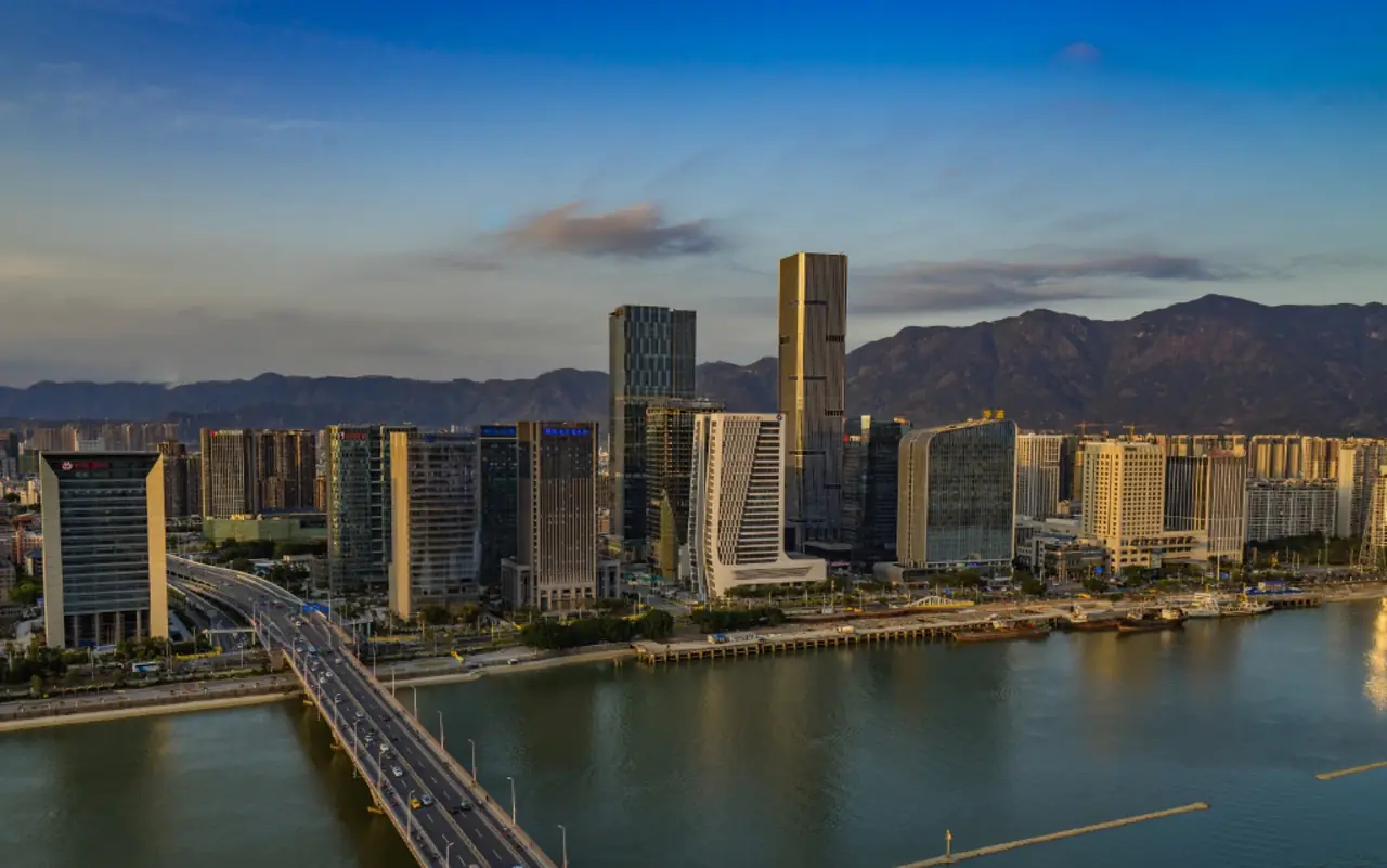
How did Fuzhou preserve neighborhood order while remaining open to the world between mountain and sea?
Open chapter ↗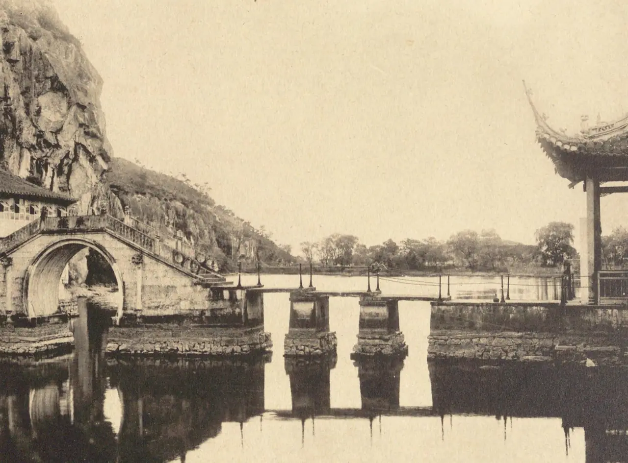
How does Shaoxing make a dense water network carry production, memory and daily urban life?
Open chapter ↗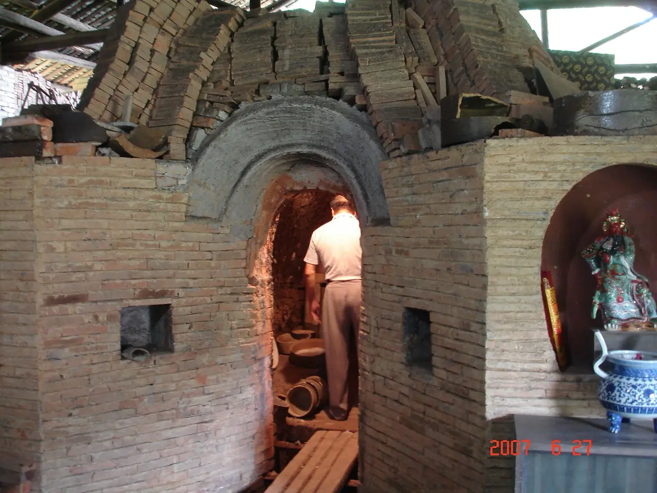
How did Jingdezhen turn one craft into an urban system connecting the world?
Open chapter ↗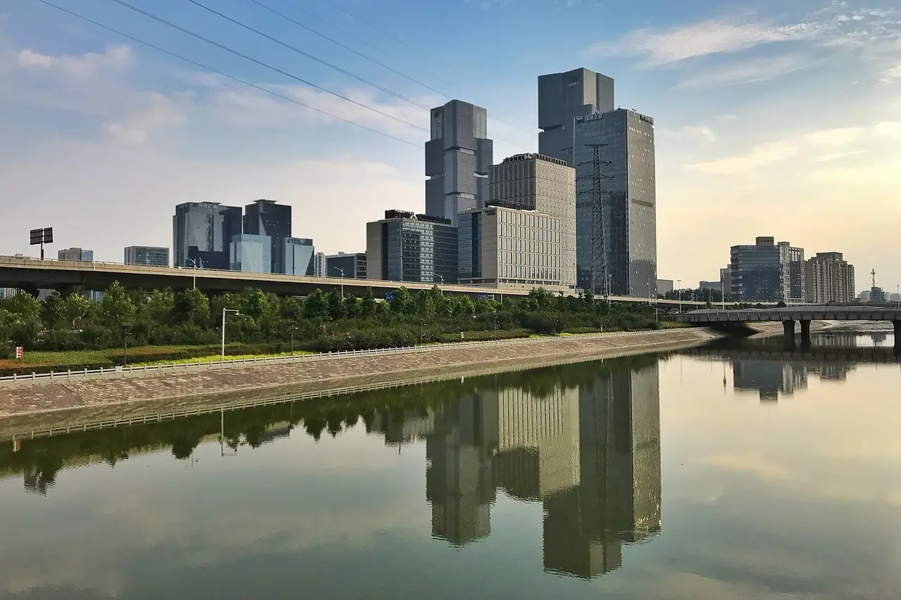
Why has Zhengzhou repeatedly been rebuilt around the idea of a central position?
Open chapter ↗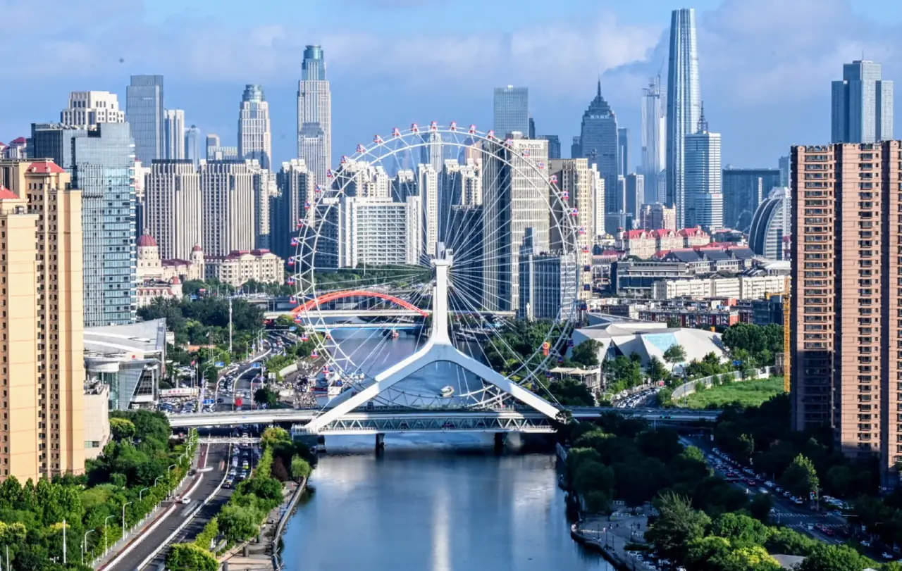
How did Tianjin become North China’s gateway to the world where rivers meet the sea?
Open chapter ↗No matching city. Try another keyword or theme.
02 / READING ROUTES
No city stands alone. Compare how water, routes, migration and power leave different traces from place to place.
Ports and exchange
Follow maritime cities from Song–Yuan trade and diaspora networks to treaty ports and manufacturing metropolises.
Open reading route ↗Power and space
Axes, gates, palaces, roads and waterways reveal how political order becomes walkable urban space.
Open reading route ↗Rivers and engineering
Water brings movement, scenery and livelihood—and also flood and limits. Read cities through canals, bridges and docks.
Open reading route ↗Frontiers and routes
Passes, roads, railways and migration turn supposed edges into places of encounter, conflict and recombination.
Open reading route ↗Landform and life
Pillars, lake basins, plains and designed scenery are viewed—but they also shape farming, movement, settlement and conservation.
Open reading route ↗Canal and city
Compare how one engineered water system shaped capital supply, salt and grain transport, markets, lanes and daily life.
Open reading route ↗Material and makers
Porcelain, silk, lacquer, carving, brewing and port production reveal urban systems of resources, labor, markets and inherited knowledge.
Open reading route ↗Treaty ports, industry and sovereignty
Read treaty ports, railways and factories through imposed institutions, sovereignty, labor and the local reuse of urban space.
Open reading route ↗03 / Our approach
Each chapter selects evidence that serves its central question while preserving a broad historical arc. History, culture and technology follow the city’s own formation, with distinct periods clearly identified.
Read more ↗