Why here
Yangtze crossings, hills and the Qinhuai created a terrain suited to defense, movement and settlement.
CITY ATLAS / 04
The Ming Xiaoling Tomb speaks of capital planning; the Memorial Hall protects a painful history; the Yangtze River Bridge records modern engineering.
READING GUIDE
Start with the long-term force shaping the city, then move into chronology, urban systems and surviving evidence.
01 / Chapter
Imperial architecture, the memory of wartime atrocities and modern engineering belong to different historical contexts. This chapter treats them distinctly, then asks how public spaces carry authority, mourning and everyday movement.
THREE LENSES / THREE LENSES
Geography sets conditions, turning points redirect the path, and daily life carries long memory.
Yangtze crossings, hills and the Qinhuai created a terrain suited to defense, movement and settlement.
Repeated capitals, wars and rebuilding made Nanjing alternate between national order and local life.
Walls, Republican-era architecture and industrial heritage overlap in a city that renews itself through memory.
CITY HISTORY / 城市时间
Nanjing cannot be reduced to its Six Dynasties, Ming or Republican periods. It was repeatedly a political center and also endured wartime atrocity.
Communities and towns formed near the Yangtze and Qinhuai rivers.
Eastern Wu made Jianye its capital.
Jiankang served successive courts.
The early Ming capital and its monumental landscape took shape.
Republican capital building and the Nanjing Massacre.
Rebuilding and the 1968 Yangtze River Bridge.
01 / Origins
Nanjing lies where the lower Yangtze and the Qinhuai river system create routes and defensible ground. The municipal historical account identifies 229, when Eastern Wu made Jianye its capital, as a key beginning of its long capital history.
Eastern Jin and the Southern Dynasties later ruled from Jiankang. Their city was not a simple copy of today’s streets, but it left a lasting memory of Nanjing as a political and cultural center of the south.
02 / Building
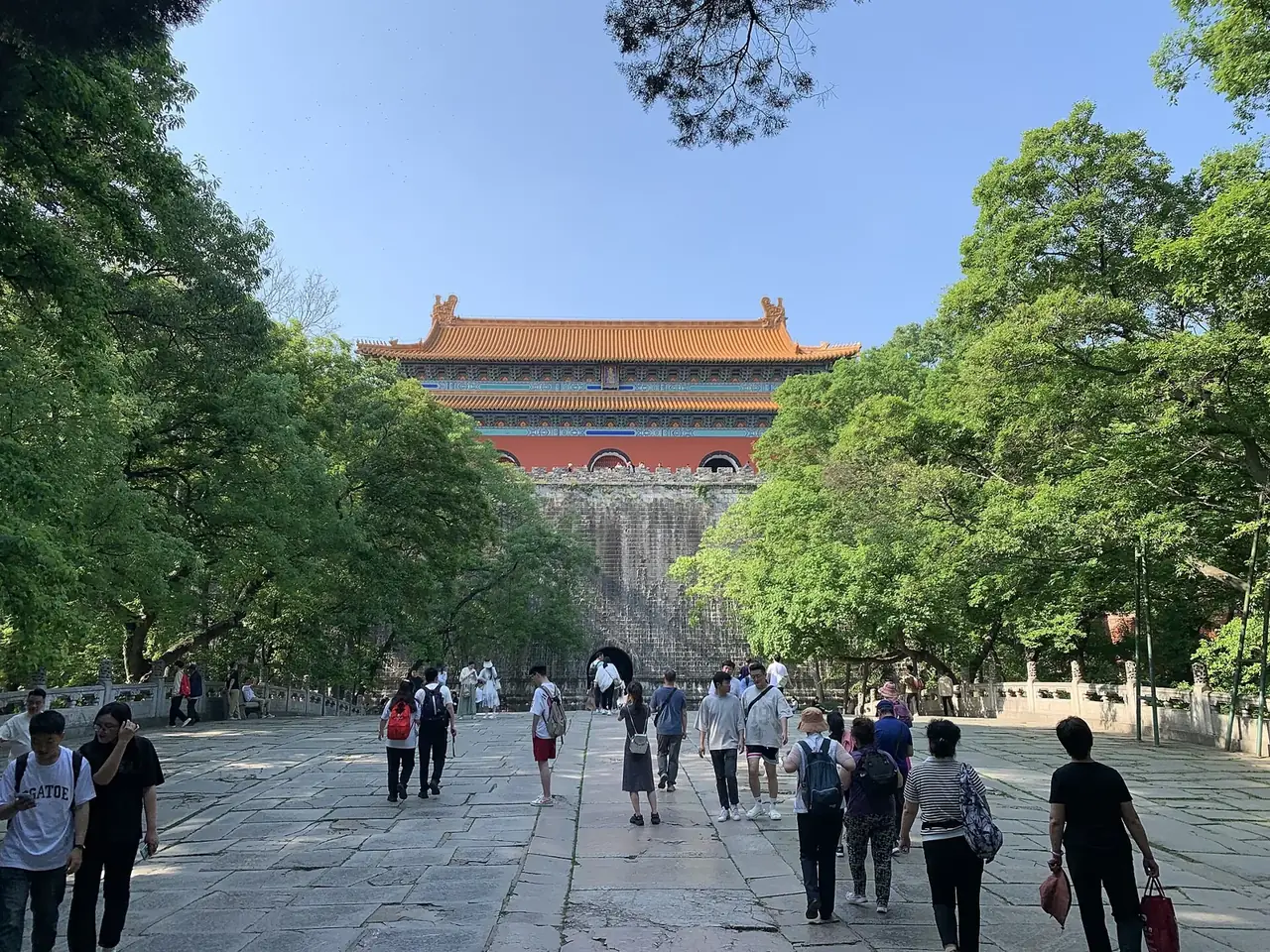
In 1368 Zhu Yuanzhang founded the Ming dynasty with Nanjing as its capital. At the Ming Xiaoling Tomb, buildings, a ceremonial path and the surrounding topography form a designed whole. UNESCO notes that its layout influenced later imperial tombs.
When the Ming capital moved to Beijing in 1421, Nanjing became a secondary capital. The monuments of the early Ming remained. They show how authority could be expressed through terrain, route and architecture.
03 / Memory
A provisional Republic of China government was established in Nanjing in 1912, and a Nationalist government again made it a capital in 1927. New institutions and plans reshaped the city amid wider political upheaval.
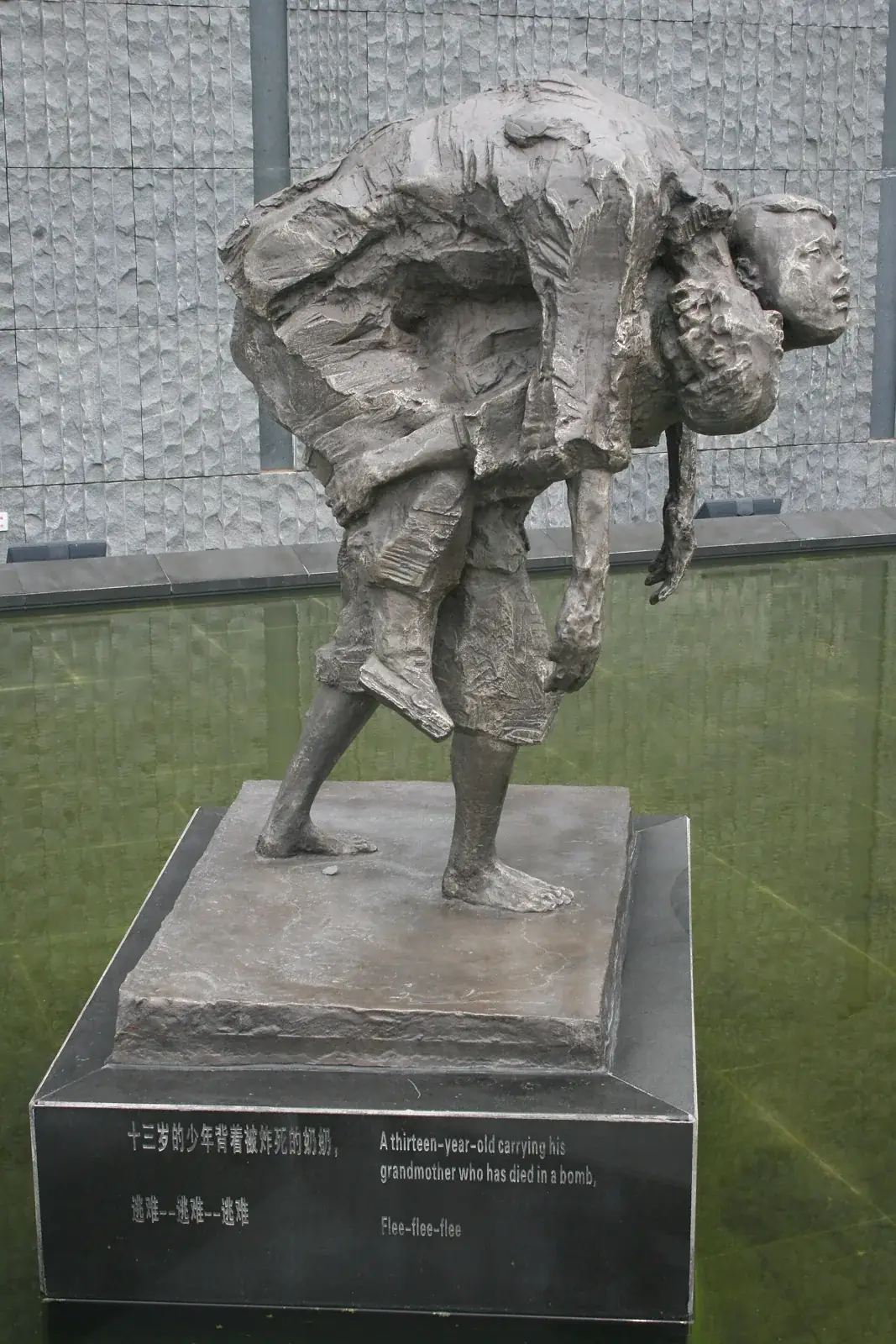
In 1937 the invading Japanese army perpetrated the Nanjing Massacre. The Memorial Hall preserves evidence, honors the victims and supports historical education. This chapter treats it separately and solemnly. It is not presented as a leisure attraction.
04 / Rebuilding
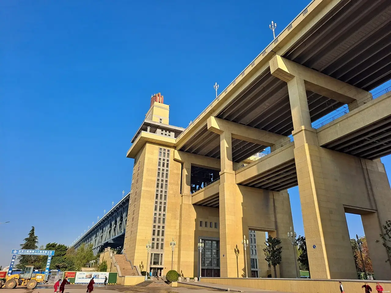
After 1949 Nanjing continued to develop as a major city in Jiangsu. The Nanjing Yangtze River Bridge opened in 1968, carrying both road and rail. Survey, design and construction records in the Jiangsu Provincial Archives reveal the engineering labor behind it.
The bridge became both infrastructure and civic memory. It changed everyday movement across the river. Nanjing’s layers—from Jiankang and Ming capital to wartime remembrance and modern engineering—each deserve their own voice.
02 / Urban system
The section on the Nanjing Massacre is presented with solemnity and is not framed as a leisure attraction.
The Ming Xiaoling Tomb records early Ming planning.
The Memorial Hall preserves evidence and memory.
The bridge links rail and road across the Yangtze.
Conservation keeps these spaces meaningful.
03 / Selected exhibits
Open an exhibit to see how it supports the chapter.
The tomb influenced later Ming and Qing imperial mausoleum design.
See references ↓The Memorial Hall preserves and presents the history of the Nanjing Massacre and honors its victims.
See references ↓Opened in 1968, this road–rail bridge was designed and built by China.
See references ↓Survey, structural and construction records reveal the labor behind a landmark.
See references ↓04 / IN ONE SENTENCE
05 / Sources
References support the historical facts, heritage information and city data used in this chapter. Photo creators, licenses and original files appear in the image credits.
Images resized and converted; display may be cropped.
Explore another
Related by geographic region and historical themes rather than random recommendation.
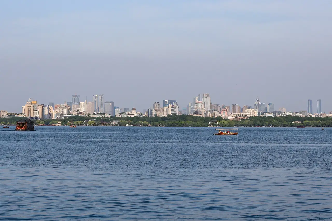
How did water become Hangzhou’s imagination?
Open chapter ↗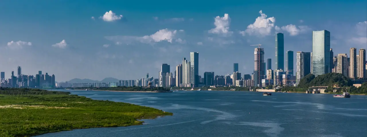
Why does Changsha repeatedly turn local culture into public expression?
Open chapter ↗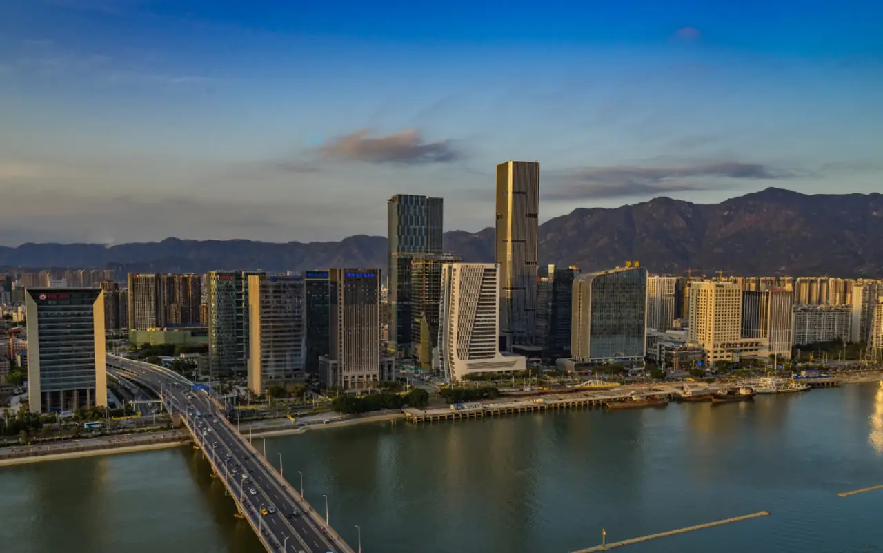
How did Fuzhou preserve neighborhood order while remaining open to the world between mountain and sea?
Open chapter ↗


