Why here
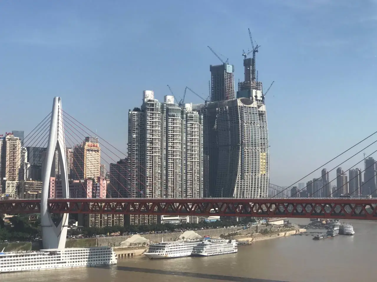
The confluence and steep terraces force transport, building and commerce into three dimensions.
CITY ATLAS / 07
The Yangtze and Jialing created routes; treaty-port trade, wartime migration, industry and municipality status repeatedly changed the city’s scale.
READING GUIDE
Start with the long-term force shaping the city, then move into chronology, urban systems and surviving evidence.
01 / Chapter
Rivers and slopes constrained flat expansion while creating advantages for transport and defense. Docks, stairs, bridges, rail and new districts are different answers to the same terrain.
THREE LENSES / THREE LENSES
Geography sets conditions, turning points redirect the path, and daily life carries long memory.
The confluence and steep terraces force transport, building and commerce into three dimensions.
The wartime capital and Third Front program twice expanded Chongqing’s national industrial and demographic role.
Dock culture, hillside mobility and night-time commerce still shape an intense urban sensory experience.
CITY HISTORY / 城市时间
Chongqing repeatedly faced the same problem: how could scarce flat land, sharp elevation and arriving populations become a workable city?
A regional political center emerged upstream on the Yangtze.
The name Chongqing appeared.
The port formally opened to foreign trade.
Wartime capital, mass migration and bombing.
Industrial construction reshaped the city.
The present municipality was established.
01 / Geography
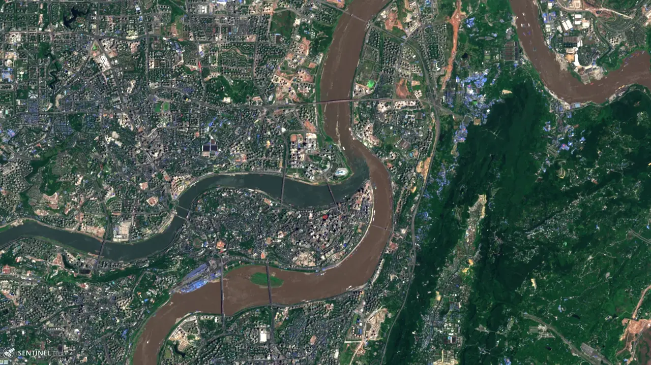
The Yangtze and Jialing meet at Chaotianmen. River transport connected the Sichuan Basin, the Three Gorges and distant markets, while steep terrain aided defense and constrained streets.
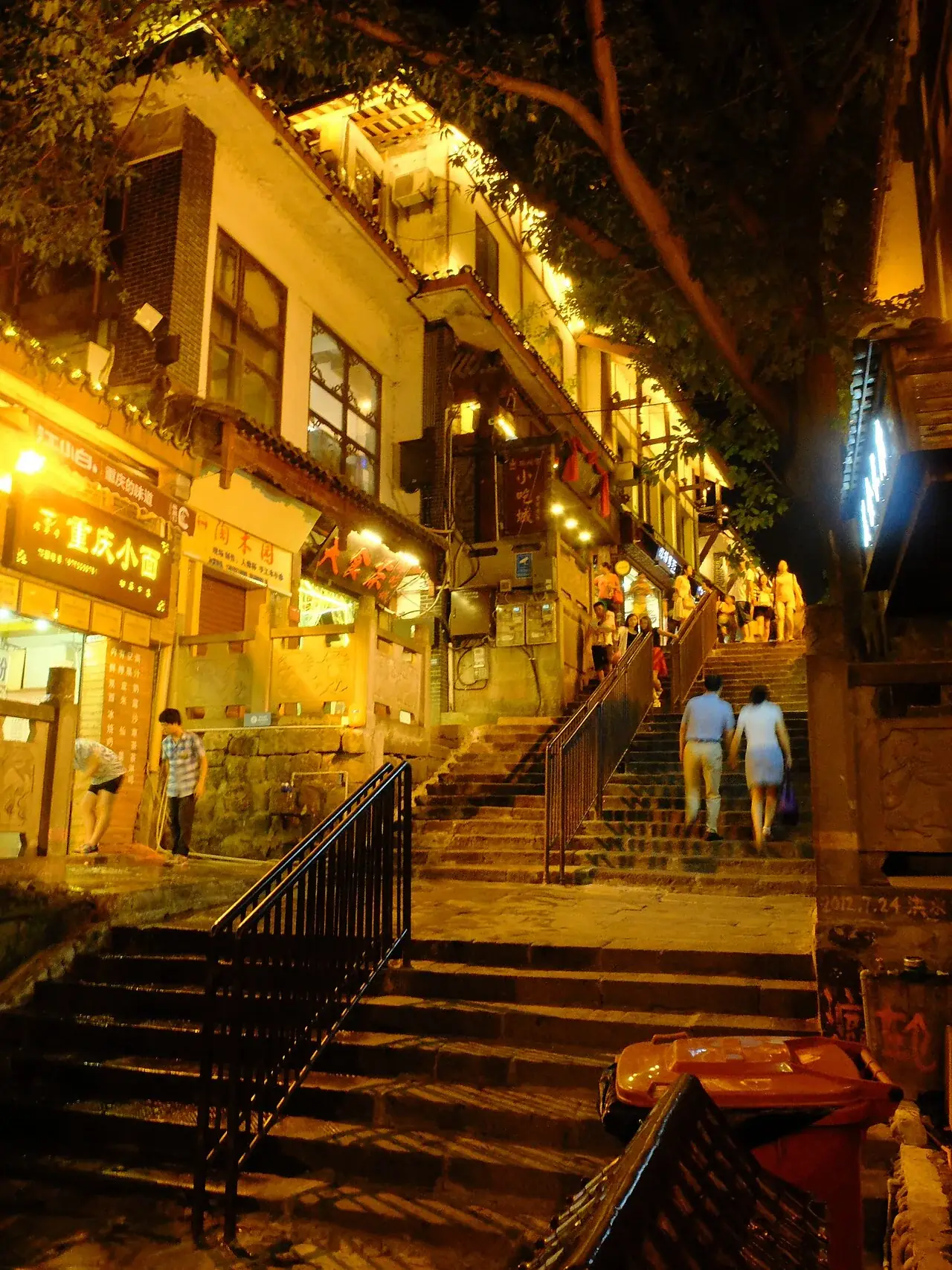
Docks, stairs and hillside neighborhoods grew from generations of labor. The celebrated vertical city began as a practical response to transport, housing and commerce.
02 / Trade
After the 1891 opening, steam navigation, firms and modern facilities entered the river city. Chongqing became more tightly linked to wider trade.
Old and new systems overlapped. Porters, boat workers, merchants and workshops remained central to everyday movement.
03 / Migration
Government bodies, schools, factories and large populations moved inland after 1937. The city expanded quickly while residents endured repeated air raids.
The period holds persistence and industrial effort, as well as death, evacuation and hardship. Sites and archives preserve a public memory that calls for solemn treatment.
04 / Today
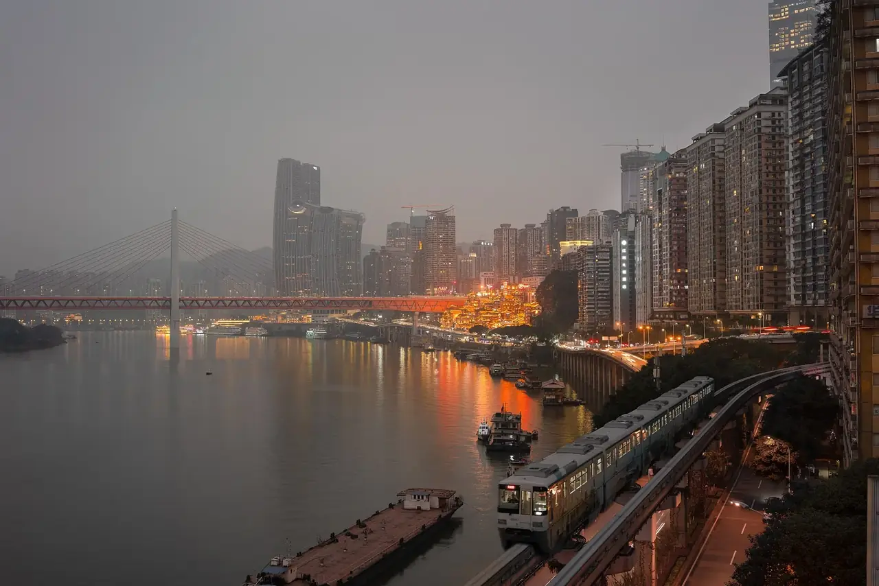
Industrial districts, rail and housing transformed the riverbanks after 1949. Municipality status in 1997 connected the core city with a much larger territory.
Bridges, tunnels and rail now cross rivers and elevation. They continue an old task: helping separated urban clusters reach one another.
02 / Urban system
From river docks to layered transit, each era reorganized people, goods and slopes.
The confluence supported movement and defense.
The 1891 opening accelerated modern commerce.
Wartime institutions, workers and industry moved inland.
Bridges and rail now cross valleys and rivers.
03 / Selected exhibits
Open an exhibit to see how it supports the chapter.
The confluence reveals the city’s river structure.
See references ↓Steps and stilted buildings respond to scarce flat land.
See references ↓Migration and bombing transformed the city’s society.
See references ↓Modern transport reconnects urban clusters divided by terrain.
See references ↓04 / IN ONE SENTENCE
05 / Sources
References support the historical facts, heritage information and city data used in this chapter. Photo creators, licenses and original files appear in the image credits.
Images resized and converted; display may be cropped.
Explore another
Related by geographic region and historical themes rather than random recommendation.
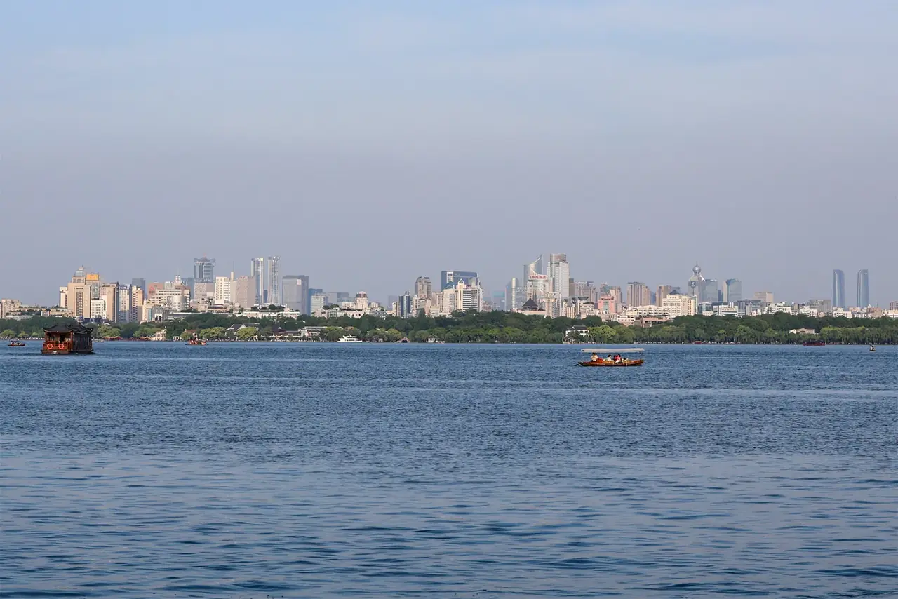
How did water become Hangzhou’s imagination?
Open chapter ↗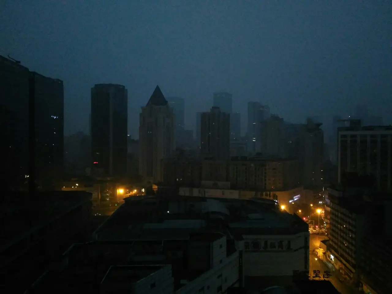
How did water management and markets sustain Chengdu?
Open chapter ↗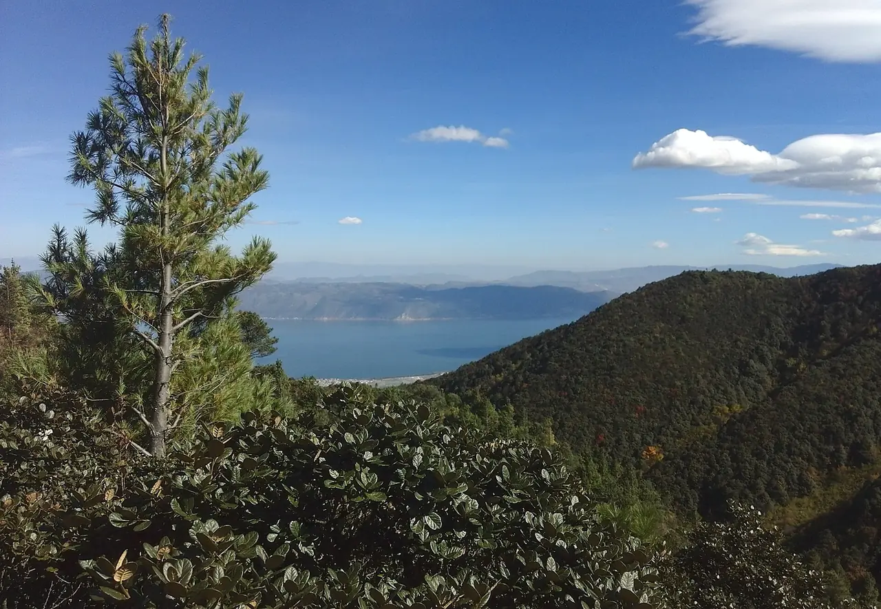
How did a highland lake basin sustain Dali as a cultural center across centuries?
Open chapter ↗


