Why here
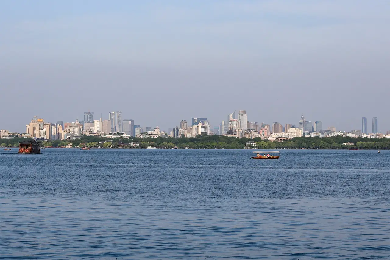
The Qiantang River, Grand Canal and West Lake compress transport, water management and scenery into one city.
CITY ATLAS / 02
From Liangzhu’s water works to West Lake, the Grand Canal and today’s data industry, Hangzhou repeatedly rethinks how things connect.
READING GUIDE
Start with the long-term force shaping the city, then move into chronology, urban systems and surviving evidence.
01 / Chapter
Its waterscape is not simply natural scenery. Liangzhu records early water management; West Lake’s causeways and islands were made over centuries; the Grand Canal joined regional routes. Today’s digital economy offers a separate lens on new forms of connection.
THREE LENSES / THREE LENSES
Geography sets conditions, turning points redirect the path, and daily life carries long memory.
The Qiantang River, Grand Canal and West Lake compress transport, water management and scenery into one city.
The Southern Song capital elevated a regional center into a national stage of politics and consumption.
Lake-city relations, silk and tea traditions, and digital industry show Hangzhou repeatedly rewriting refined urban life.
CITY HISTORY / 城市时间
The area did not grow as one unchanged city for five millennia. Water works, capitals, markets and designed landscapes belong to distinct histories.
Liangzhu developed an early urban center and water system.
Local settlements and the city–lake relationship evolved.
Hangzhou became an important capital.
Lin’an became a capital with dense commerce and culture.
West Lake and the Grand Canal became protected heritage.
Digital industries form a new urban theme.
01 / Prehistory
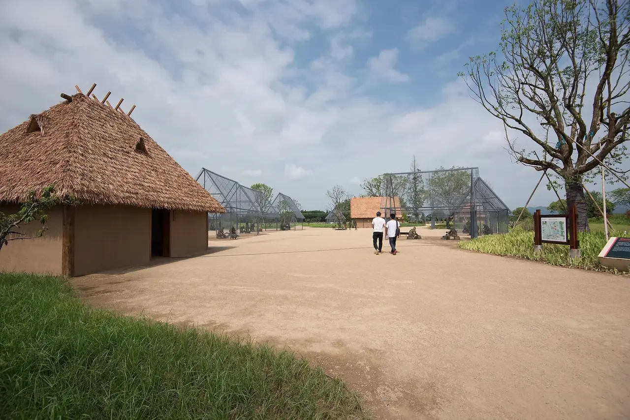
The history of the Hangzhou region does not begin at West Lake. Liangzhu reveals an early regional center built around rice cultivation, social hierarchy and water management. High dams, low dams, city remains and cemeteries form a connected archaeological landscape.
Liangzhu was not simply an early version of the present city. Its role in this chapter is to show that managing water was already central to life in the region long before the later capital took shape.
02 / Landscape
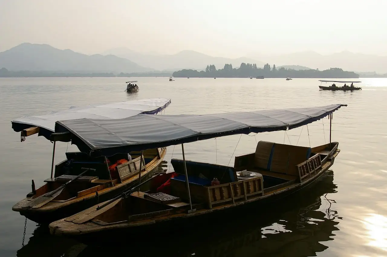
West Lake is celebrated for its setting among hills, yet it has also been deliberately shaped. Dredging produced causeways and islands; bridges, temples, pagodas and gardens entered the view. Poets and artists gave scenes names and meanings.
UNESCO identifies a lasting ideal of composing nature and human intervention together. The Ten Scenes are therefore more than ten stops on a walk: they express a way to see a landscape that influenced garden design beyond Hangzhou.
03 / Capital
Hangzhou’s Wuyue and Southern Song capital phases tied it to wider political and cultural worlds. Southern Song Lin’an combined palatial spaces with busy markets. Around Qinghefang, shops, teahouses and streets formed part of the capital’s daily life.
Practical works supported that life. Local cultural sources describe historic water supply facilities that helped residents settle east of the lake. Behind the poetic city stood an everyday city of building, trade and maintenance.
04 / Circulation
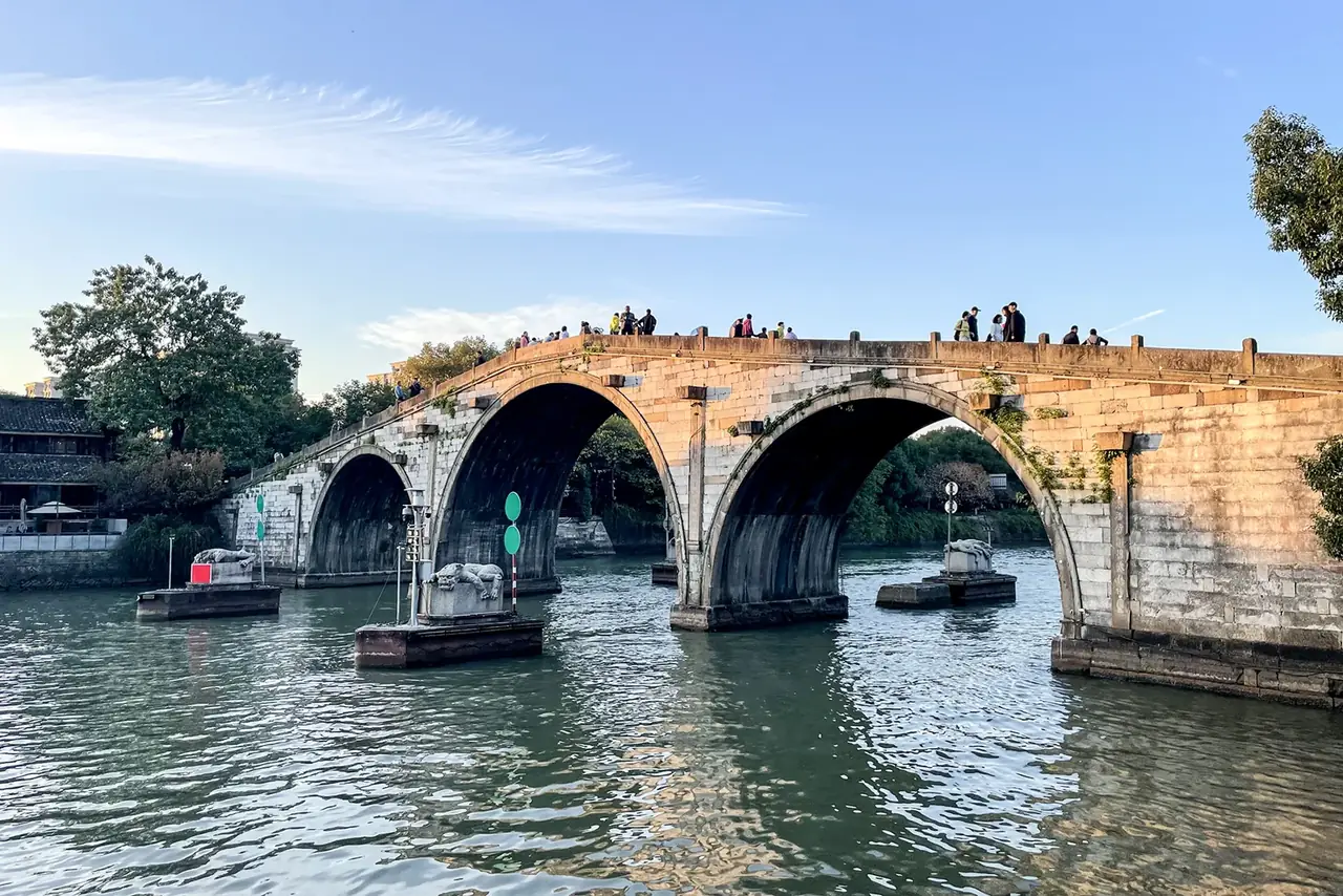
The Grand Canal linked Zhejiang to northern China. Its transport and administrative roles differed from West Lake’s aesthetic ones, but both reshaped Hangzhou’s relation to the wider world. The city was at once a landscape to behold and a node in a movement network.
Today, digital industries pose another question of circulation: how do data, firms, technology and people move together? Hangzhou’s “China Data Valley” plan is one contemporary example. Juxtaposing it with old waterways is an editorial comparison, not a claim of direct causation.
02 / Urban system
These moments show different ways to organize a city; the ancient and modern examples are not presented as a direct causal chain.
Liangzhu’s dams supported an early urban center.
Causeways, islands and views shaped West Lake.
The Grand Canal linked Hangzhou to a larger network.
Data industries create new kinds of circulation.
03 / Selected exhibits
Open an exhibit to see how it supports the chapter.
High and low dams, together with the city site, reveal early planning and water management.
See references ↓Repeated dredging and construction turned the lake into a designed cultural landscape.
See references ↓Poetic names, pagodas and gardens shaped a way of seeing that endured for centuries.
See references ↓This extensive waterway linked Zhejiang with northern China.
See references ↓Hangzhou’s official “China Data Valley” plan shows a new approach to moving information and data.
See references ↓04 / IN ONE SENTENCE
05 / Sources
References support the historical facts, heritage information and city data used in this chapter. Photo creators, licenses and original files appear in the image credits.
Images resized and converted; display may be cropped.
Explore another
Related by geographic region and historical themes rather than random recommendation.
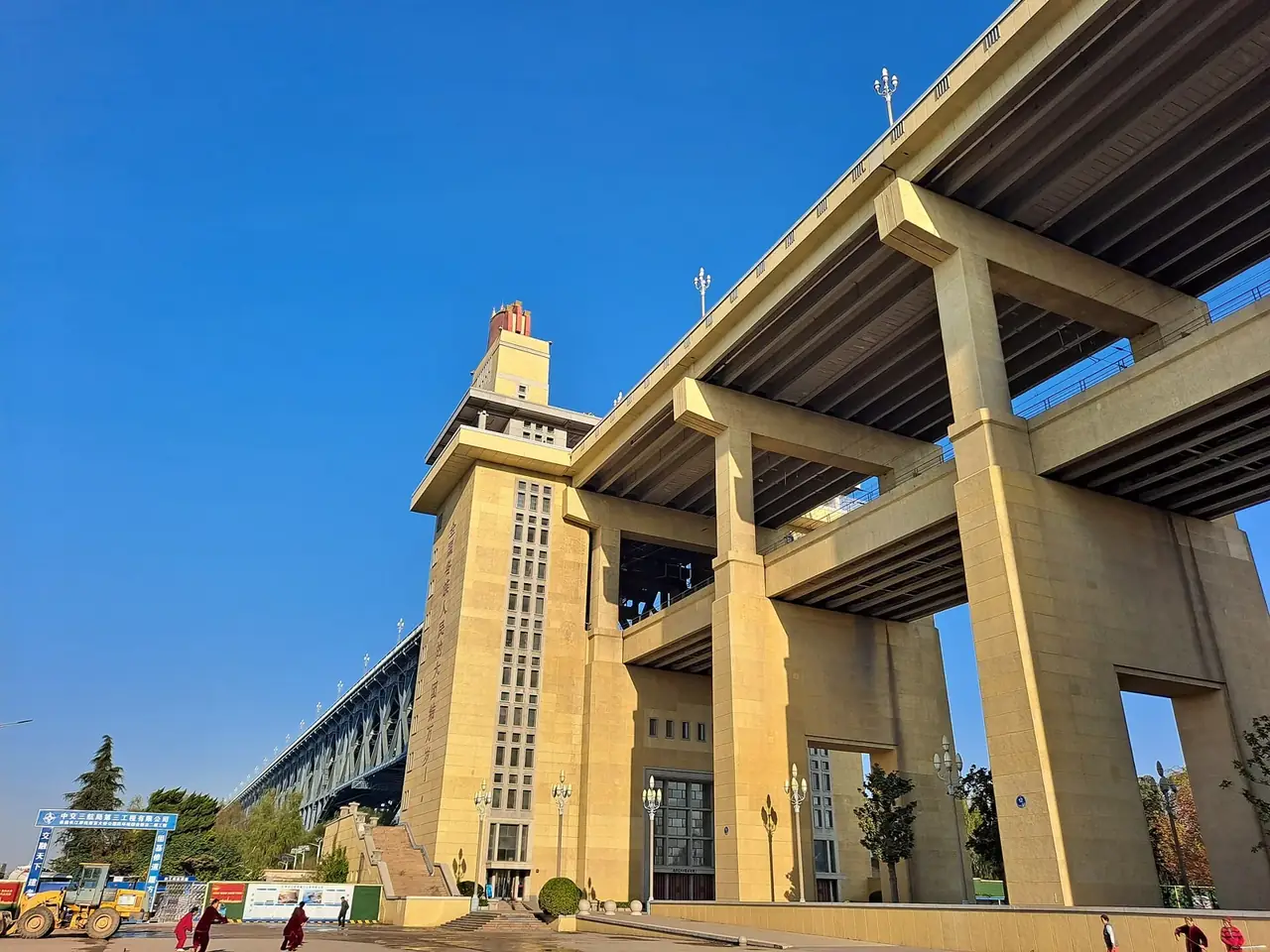
How does Nanjing live with its river and its memory?
Open chapter ↗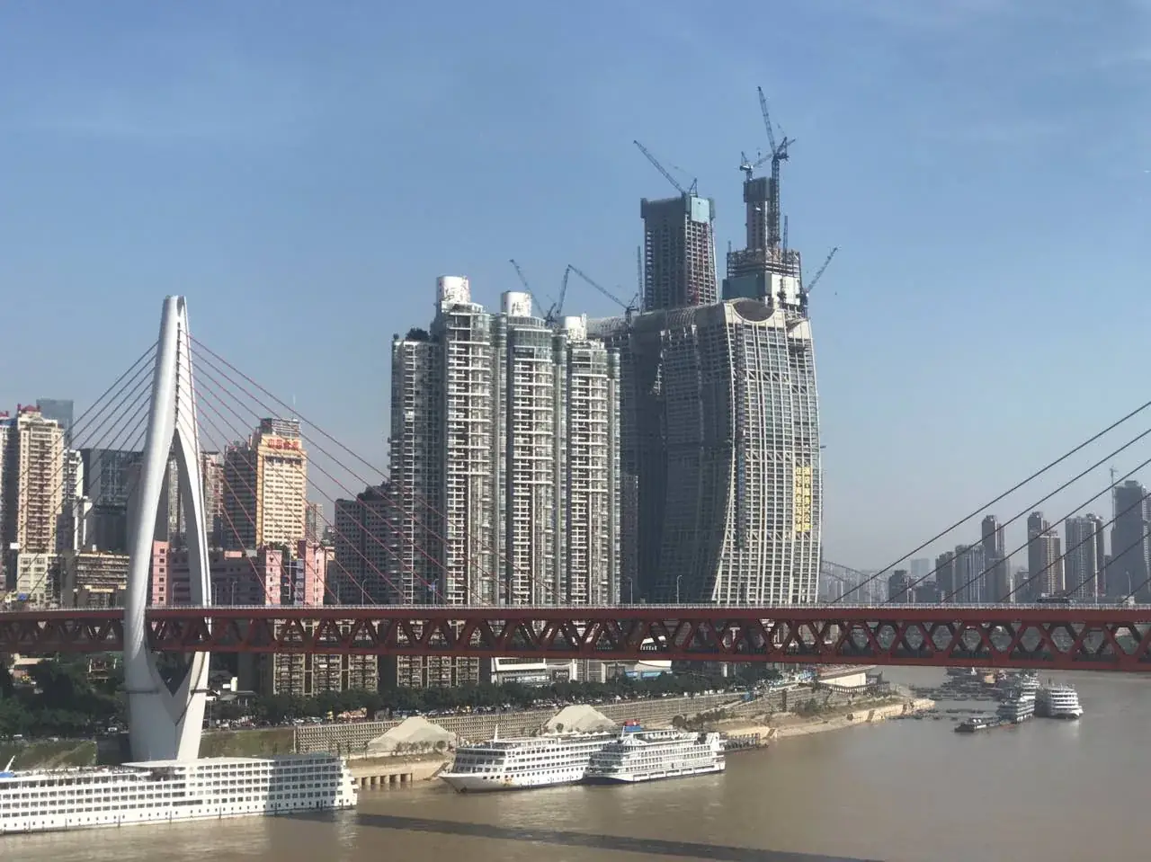
How did Chongqing turn steep terrain into a city of arrival?
Open chapter ↗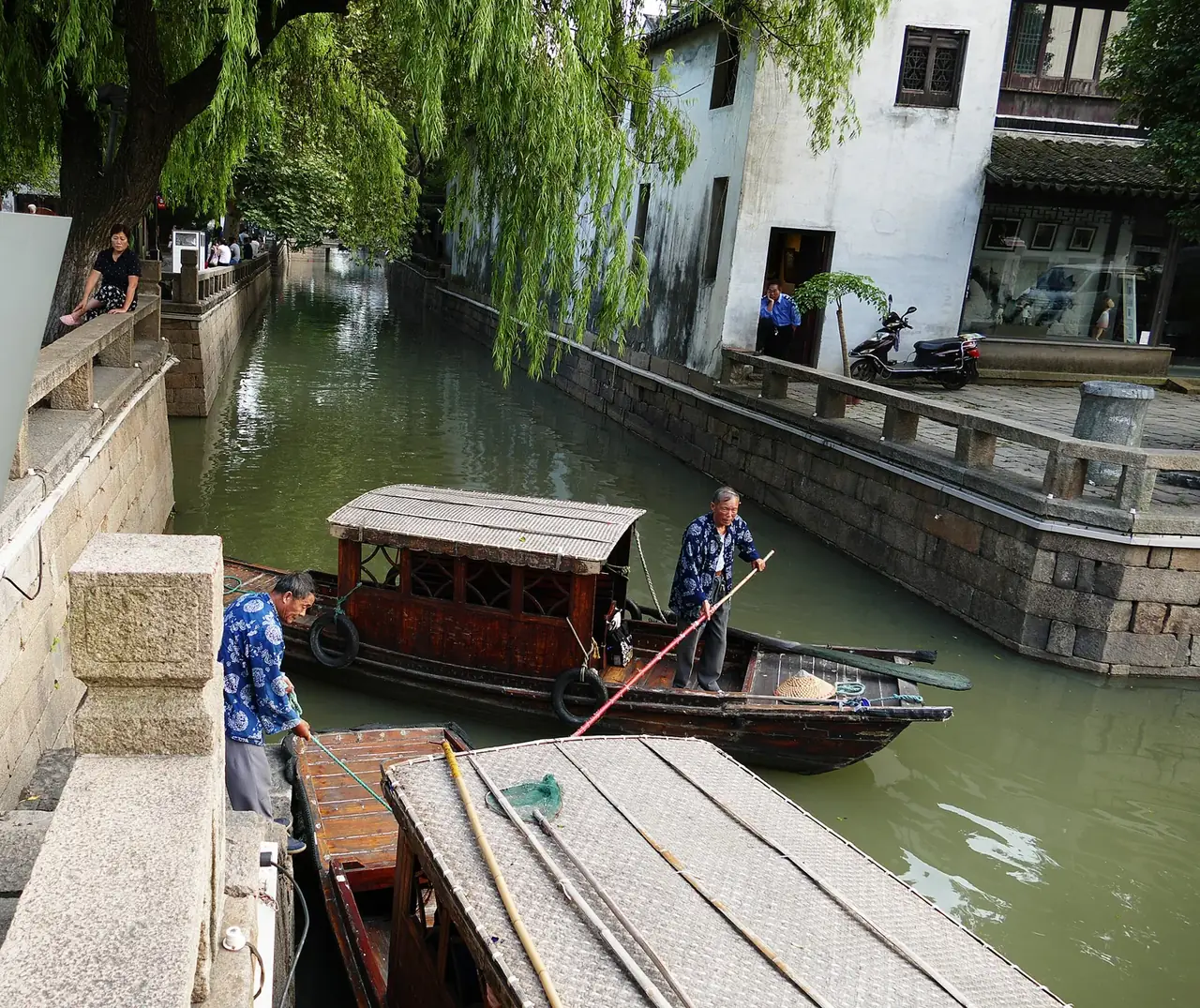
How did Suzhou preserve the scale of work and life within a water network?
Open chapter ↗


