Why here
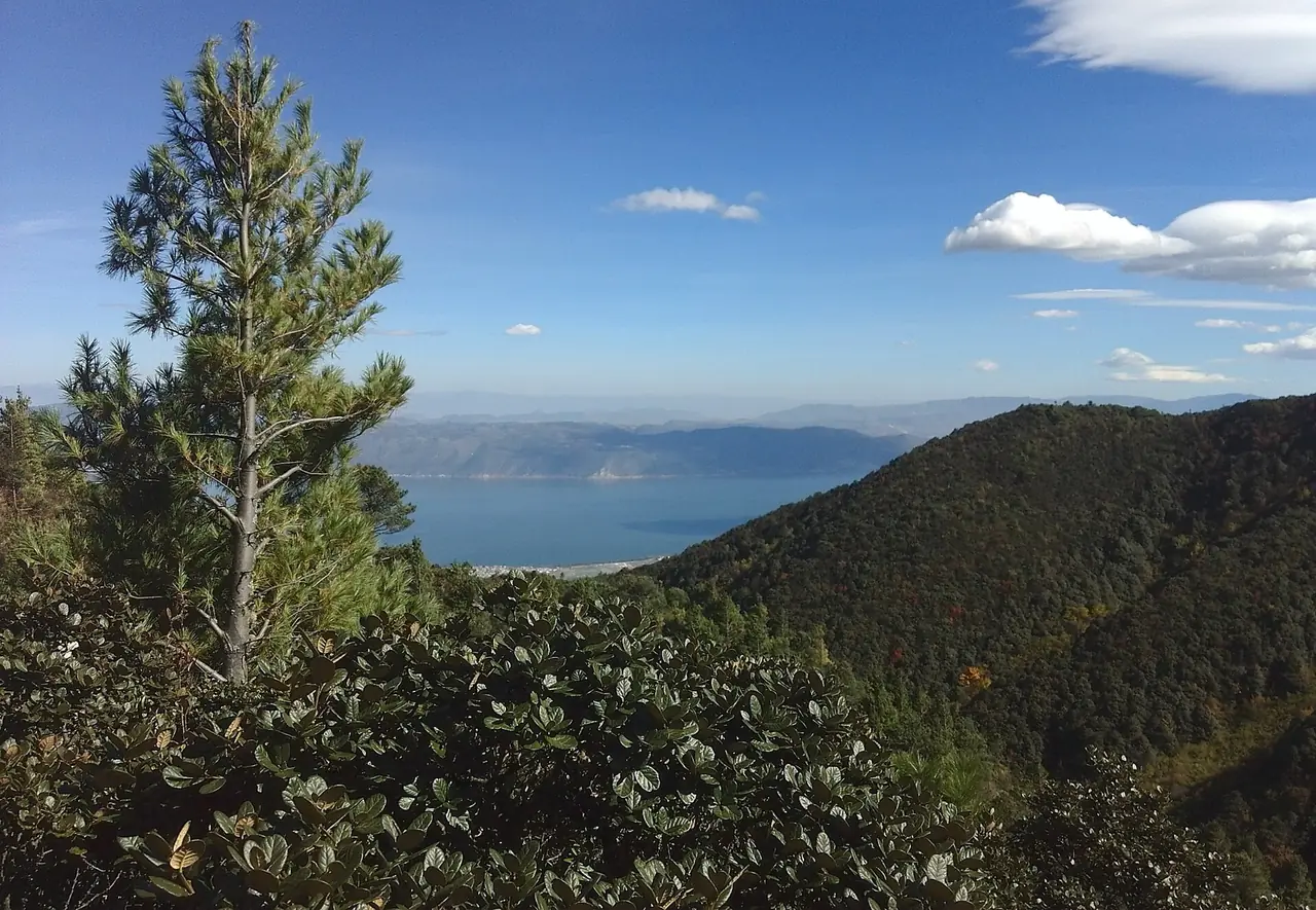
Cangshan captures moisture while Erhai moderates the basin, supporting stable farming and settlement.
CITY ATLAS / 24
Cangshan water, Erhai livelihoods, the Nanzhao and Dali kingdoms, Bai communities and the old city shaped a highland center; protecting the lake is now a civic responsibility.
READING GUIDE
Start with the long-term force shaping the city, then move into chronology, urban systems and surviving evidence.
01 / Chapter
The Erhai basin provided water, farmland and movement. Bai and other communities formed through long interaction. Nanzhao and the Dali Kingdom made it a political center; Buddhist buildings and trade left physical traces. Political power later shifted, while the Ming city reorganized streets and gates. Wetlands and ecological corridors now respond to growth pressure.
THREE LENSES / THREE LENSES
Geography sets conditions, turning points redirect the path, and daily life carries long memory.
Cangshan captures moisture while Erhai moderates the basin, supporting stable farming and settlement.
Nanzhao–Dali rule, tea-horse routes and multiethnic exchange made the basin a regional cultural center.
Bai villages, the Three Pagodas, lakeside life and ecological governance continue a mountain–lake cultural order.
CITY HISTORY / 城市时间
Dali is not an old town frozen for a millennium. Basin communities repeatedly adjusted water, routes, states and markets; after kingdoms ended, Bai life, religious monuments and streets sustained a regional culture.
Nanzhao unified the six zhao with the Erhai region as its center.
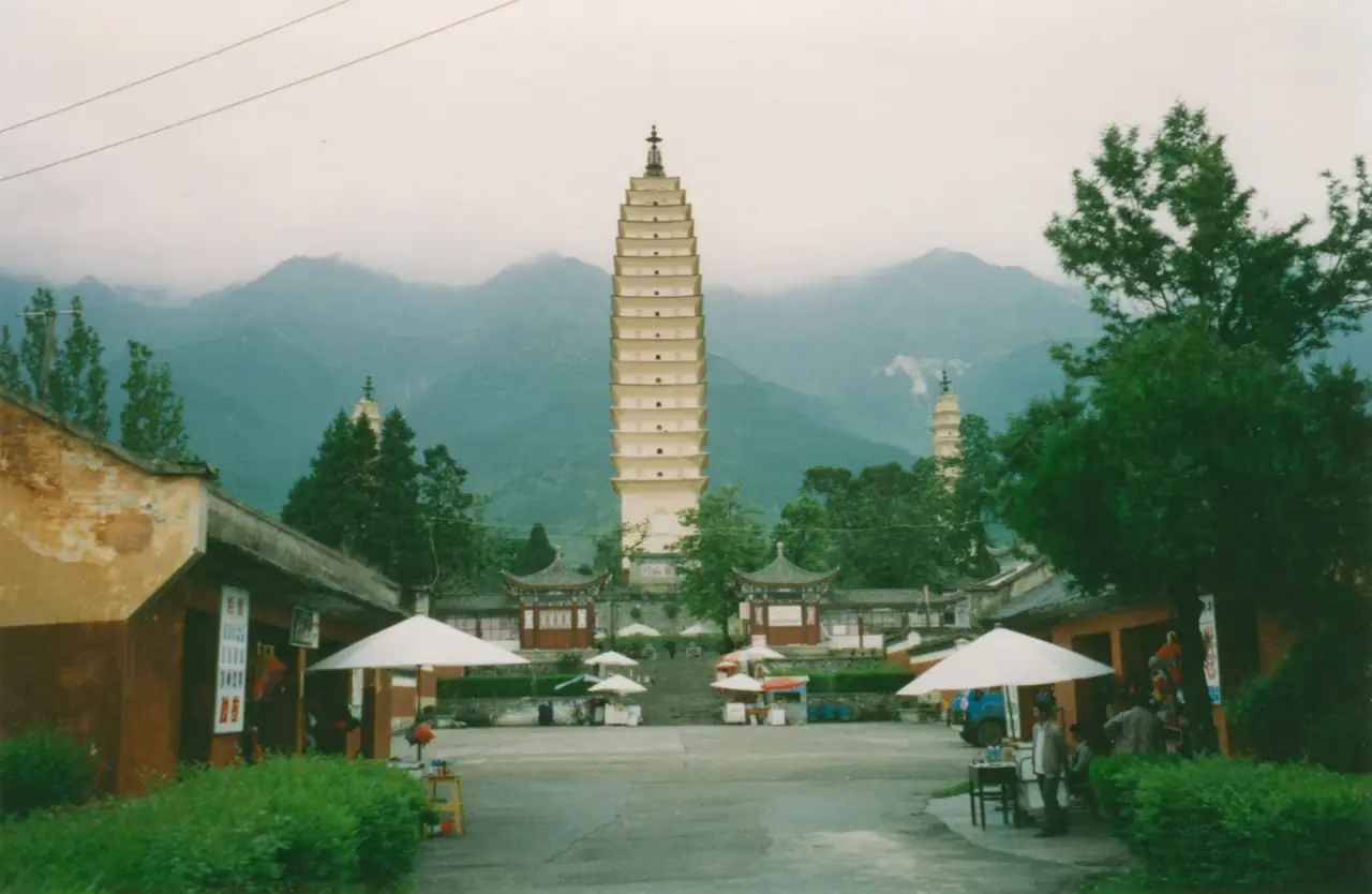
The main Three Pagodas tower was built during Nanzhao rule.
Duan Siping founded the Dali Kingdom.
Yunnan’s political center shifted toward Kunming.
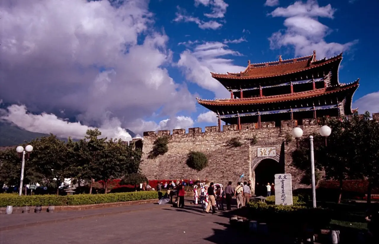
The Ming city was rebuilt and its gate-and-street pattern formed.
Dali became one of China’s first nationally designated historic cities.
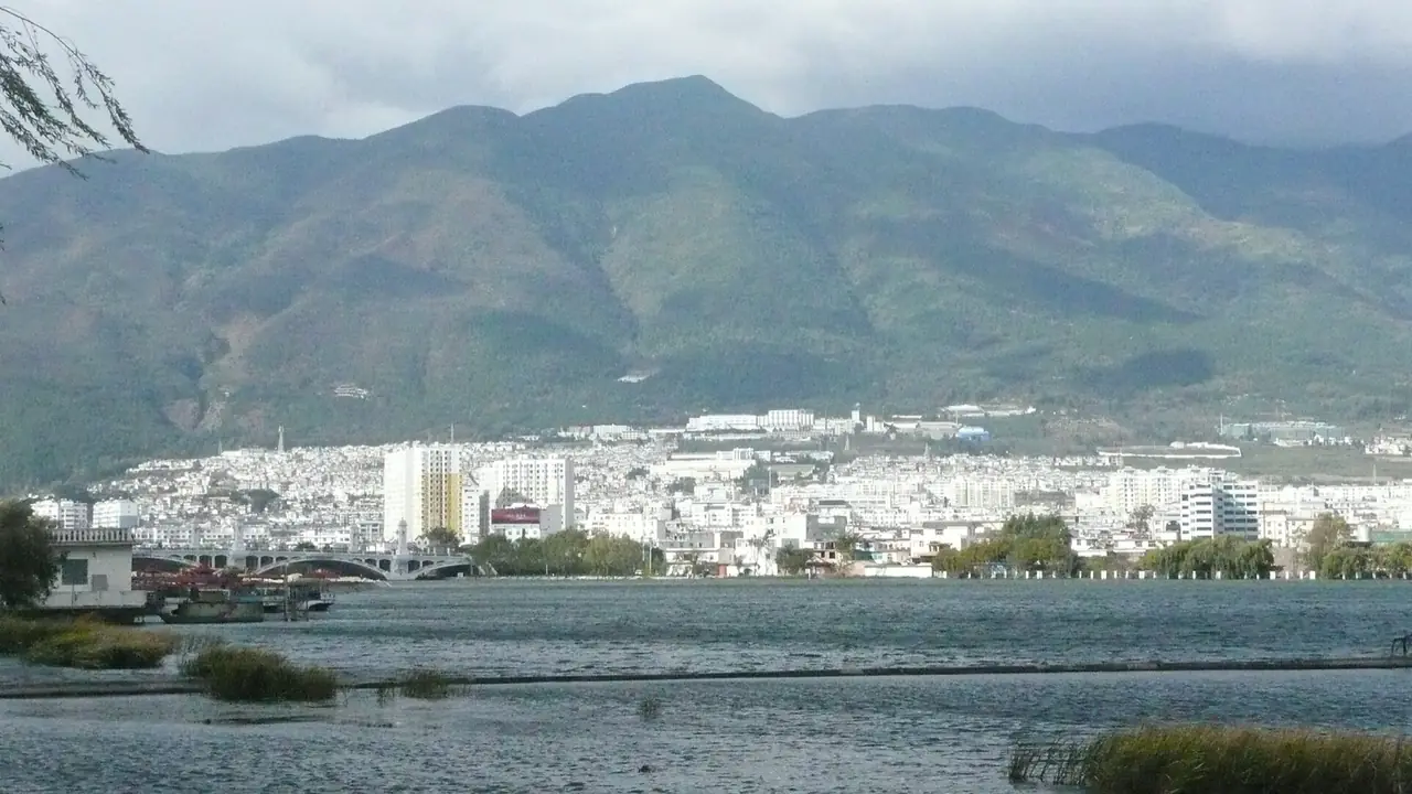
Pollution control, wetlands and an ecological corridor advanced around Erhai.
01 / Basin
A narrow terrace between Cangshan’s eastern slope and Erhai concentrates villages, fields and roads. Streams irrigate land while carrying sediment and pollution pressure toward the lake.
02 / Kingdoms
Nanzhao and Dali used basin production, regional routes and multiethnic alliances to organize a broad realm. Buddhism and state power left pagodas, inscriptions and sites.
03 / Daily life
Bai language, festivals, buildings, markets and crafts continued after political power shifted. Ming streets housed new administration, commerce and residents.
04 / Protection
Population, tourism and construction pressure the lake. Sewage interception, wetland restoration and a public corridor try to connect water quality, livelihoods and access.
02 / Urban system
The familiar poetic image is not enough. Water, farming, states, religion, streets and contemporary protection belong together.
Cangshan streams and Erhai supported farming, fishing and regional movement.
Nanzhao and Dali organized a southwestern political and cultural core.
Ming gates, streets and markets formed a durable urban pattern.
Wastewater control, wetlands and corridors respond to modern pressure.
03 / Selected exhibits
Open an exhibit to see how it supports the chapter.
A narrow strip between mountain and lake directs settlement, farming and roads.
See references ↓Pagodas from the Nanzhao and Dali periods record Buddhism, engineering and state power.
See references ↓Ming reconstruction left gates and a gridded street pattern at a human scale.
See references ↓Current protection reconnects lake health, resident life and tourism.
See references ↓04 / IN ONE SENTENCE
05 / Sources
References support the historical facts, heritage information and city data used in this chapter. Photo creators, licenses and original files appear in the image credits.
Images resized and converted; display may be cropped.
Explore another
Related by geographic region and historical themes rather than random recommendation.
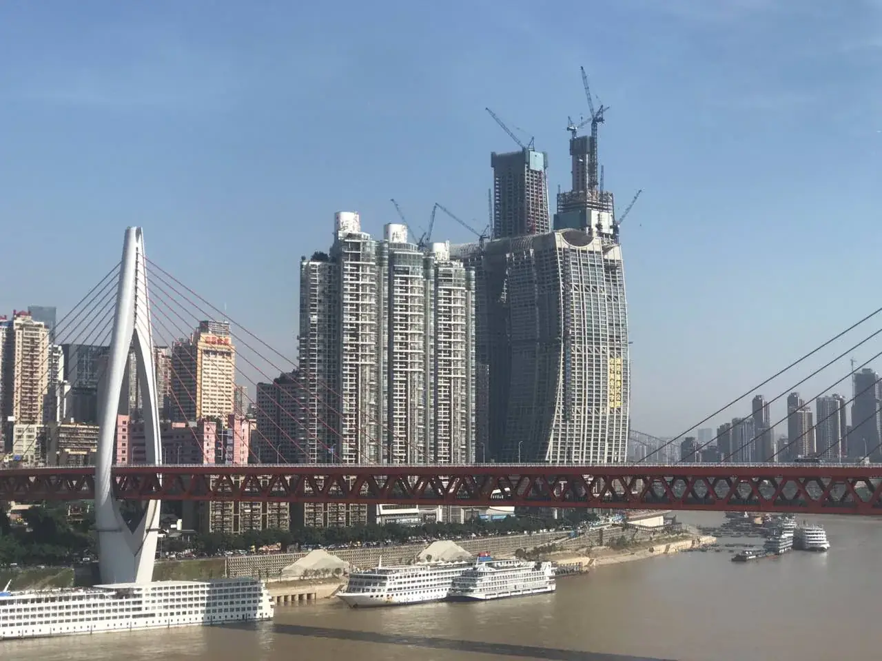
How did Chongqing turn steep terrain into a city of arrival?
Open chapter ↗
How did water management and markets sustain Chengdu?
Open chapter ↗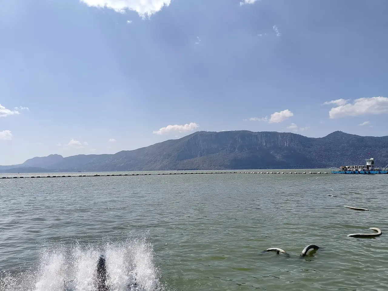
How did Kunming become a gateway between the plateau and southern worlds?
Open chapter ↗


