Why here
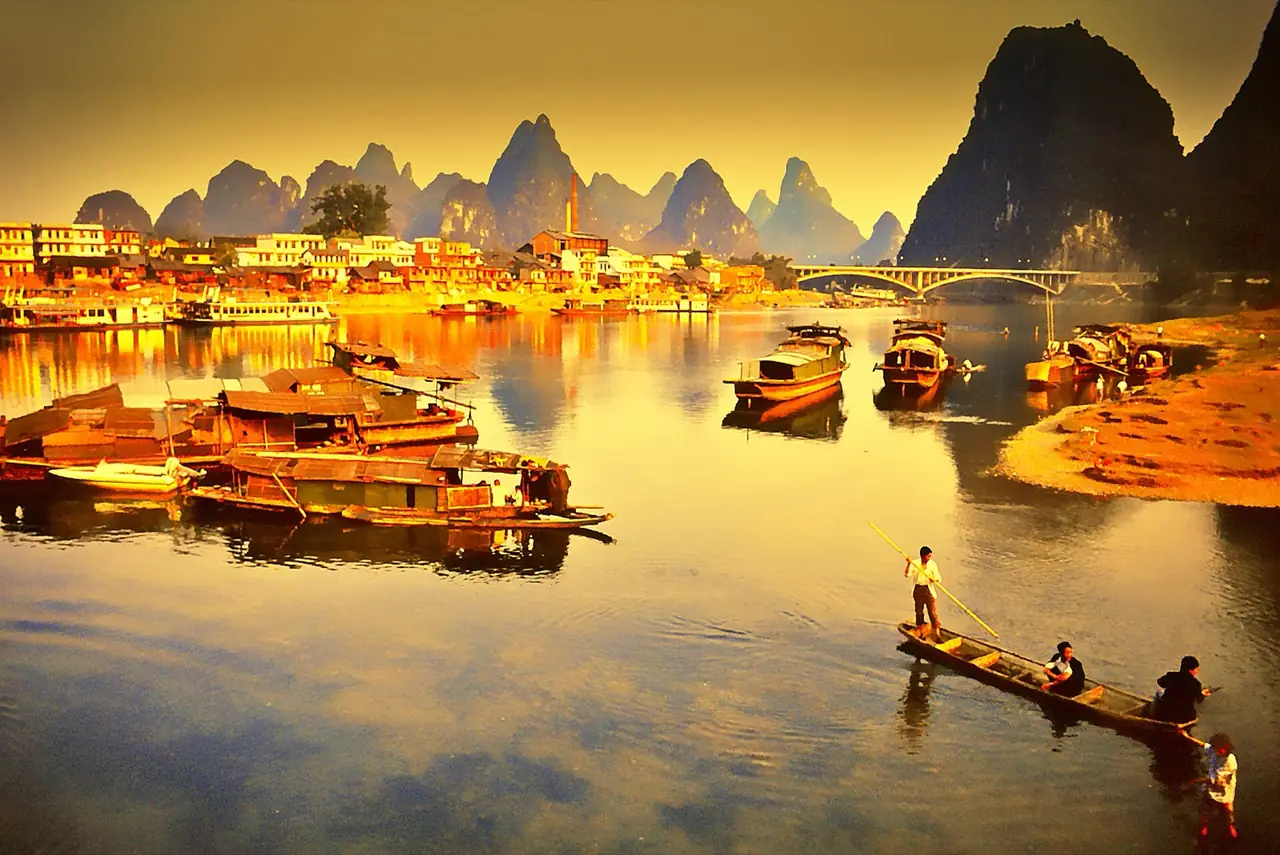
Karst towers and the Li River jointly shape settlement, navigation and visual landscape.
CITY ATLAS / 20
Karst peaks, river routes, Lingqu, inscriptions and tourism shaped a landscape that is both viewed and lived.
READING GUIDE
Start with the long-term force shaping the city, then move into chronology, urban systems and surviving evidence.
01 / Chapter
Peaks and rivers constrain flat land while offering routes and landmarks. Lingqu joined the Xiang and Li river systems; inscriptions and paintings taught visitors how to see. Modern tourism globalized the image while adding ecological pressure.
THREE LENSES / THREE LENSES
Geography sets conditions, turning points redirect the path, and daily life carries long memory.
Karst towers and the Li River jointly shape settlement, navigation and visual landscape.
Transport, inscriptions and modern tourism turned local landform into a national landscape symbol.
River life, rural production and conservation now negotiate being seen with remaining livable.
CITY HISTORY / 城市时间
Karst and the Li River did not automatically become scenery. Canals, inscriptions, photography and tourism built today’s way of seeing.
Lingqu linked the Xiang and Li river systems.
Guilin grew as an administrative and transport center.
Inscriptions and travel writing accumulated.
The Jingjiang Princes’ city took shape.
War and relocated cultural institutions changed memory.
Li River tourism formed a global image.
01 / Landform
Karst compresses flat land while providing caves, waterways and landmarks. The city grows between rather than over peaks.
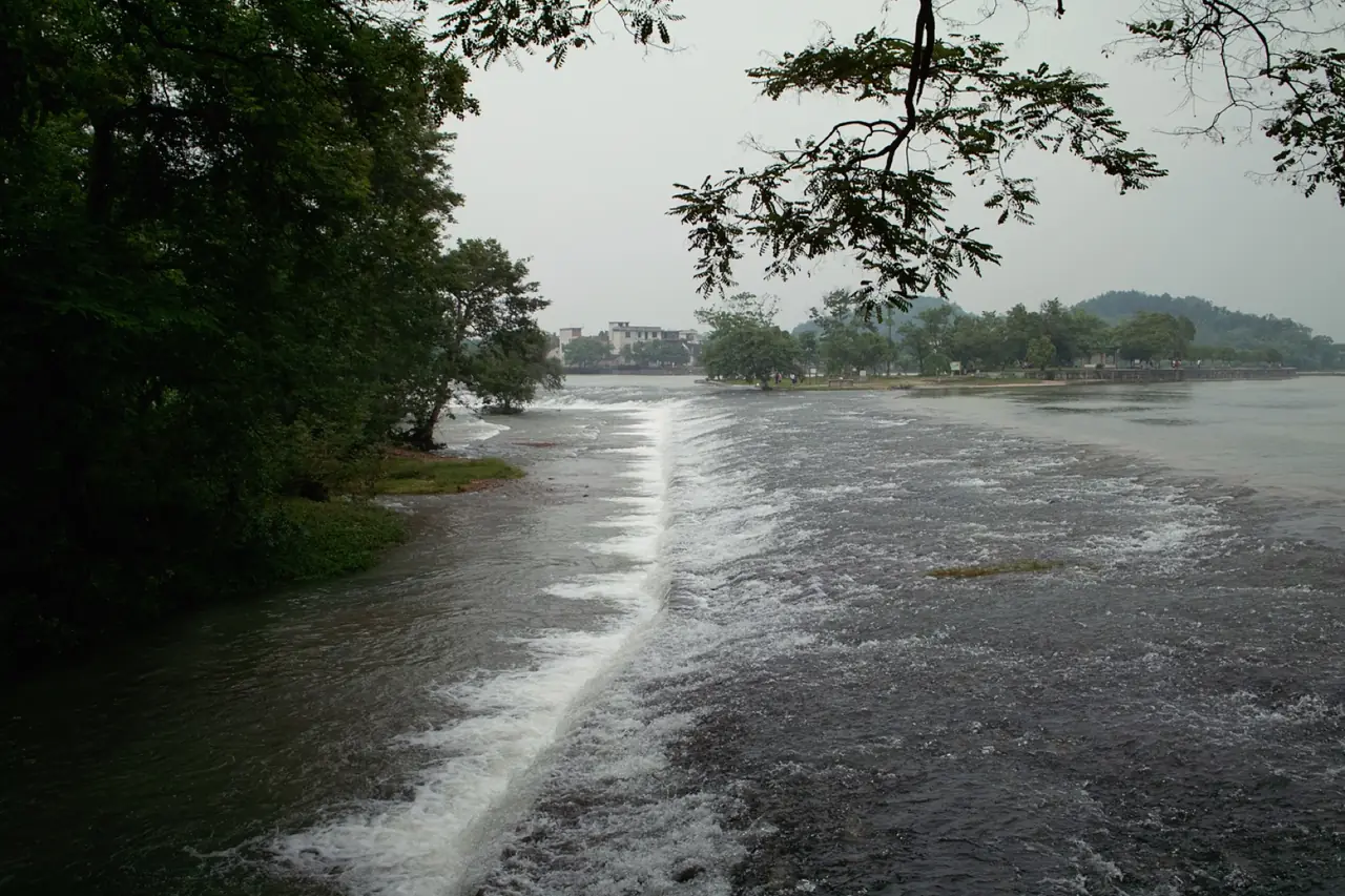
02 / Lingqu
Diversion works connected the Xiang and Li waters for transport and irrigation. Maintenance keeps ancient infrastructure alive.
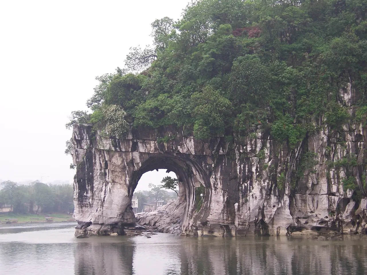
03 / Writing
Officials, travelers and residents carved inscriptions; poetry and painting organized peaks into named and shareable scenery.
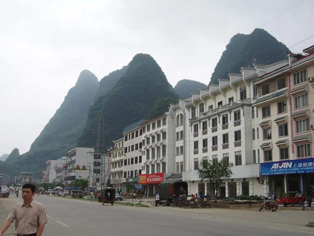
04 / Tourism
Photography, cruises and international travel expanded reach while raising questions of ecology, benefit and capacity.
02 / Urban system
Guilin belongs to a regional water system including Yangshuo and Xing’an.
Karst formed peaks and caves.
Lingqu connected two drainage basins.
Text and painting created ways of seeing.
Boats, photography and services widened the audience.
03 / Selected exhibits
Open an exhibit to see how it supports the chapter.
South China karst forms the city’s setting.
See references ↓The ancient canal joined Xiang and Li waters.
See references ↓Writing turned natural space into public memory.
See references ↓The waterway links city, villages and global visitors.
See references ↓04 / IN ONE SENTENCE
05 / Sources
References support the historical facts, heritage information and city data used in this chapter. Photo creators, licenses and original files appear in the image credits.
Images resized and converted; display may be cropped.
Explore another
Related by geographic region and historical themes rather than random recommendation.
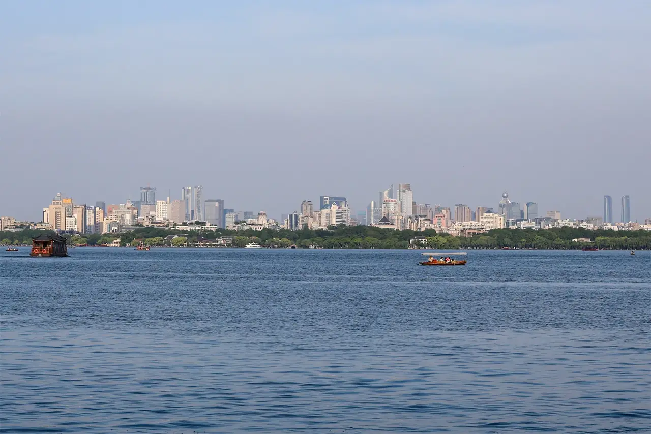
How did water become Hangzhou’s imagination?
Open chapter ↗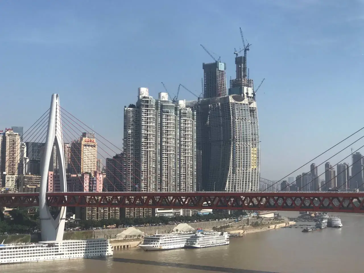
How did Chongqing turn steep terrain into a city of arrival?
Open chapter ↗
How did water management and markets sustain Chengdu?
Open chapter ↗


