Why here
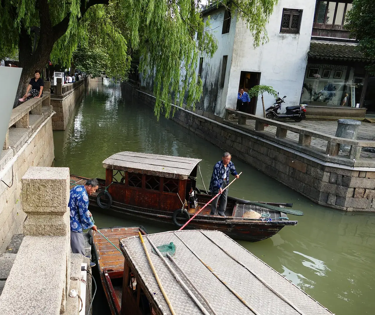
The Taihu plain’s dense waterways weave farming, transport, streets and homes together.
CITY ATLAS / 11
Canals, silk, gardens and lanes are connected parts of the city rather than separate classical symbols.
READING GUIDE
Start with the long-term force shaping the city, then move into chronology, urban systems and surviving evidence.
01 / Chapter
The city founded in 514 BCE established a lasting framework. Canals connected markets, waterways served transport and life, silk generated wealth, and gardens compressed landscape into limited residential space.
THREE LENSES / THREE LENSES
Geography sets conditions, turning points redirect the path, and daily life carries long memory.
The Taihu plain’s dense waterways weave farming, transport, streets and homes together.
Canal trade and craft wealth matured gardens, silk production and a refined urban culture.
The protected old city beside industrial parks tests how Suzhou can preserve scale while growing.
CITY HISTORY / 城市时间
Suzhou stayed in a similar place and scale for centuries, but preservation requires dredging, repair, production, residence and law.
The Wu capital was built.
The Jiangnan Canal was further connected.
Shantang waterway improved western access.
The Pingjiang Map was carved.
Silk, commerce and gardens developed.
Integrated old-city protection strengthened.
01 / Form
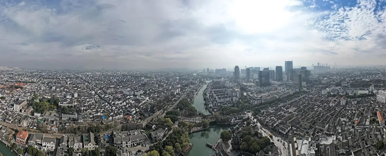
Roads, waterways, bridges and blocks form a parallel land–water system. The Pingjiang Map records this fine-grained Southern Song structure.
The pattern served transport, drainage, life and defense. It survived through dredging, bridge repair and water management.
02 / Circulation
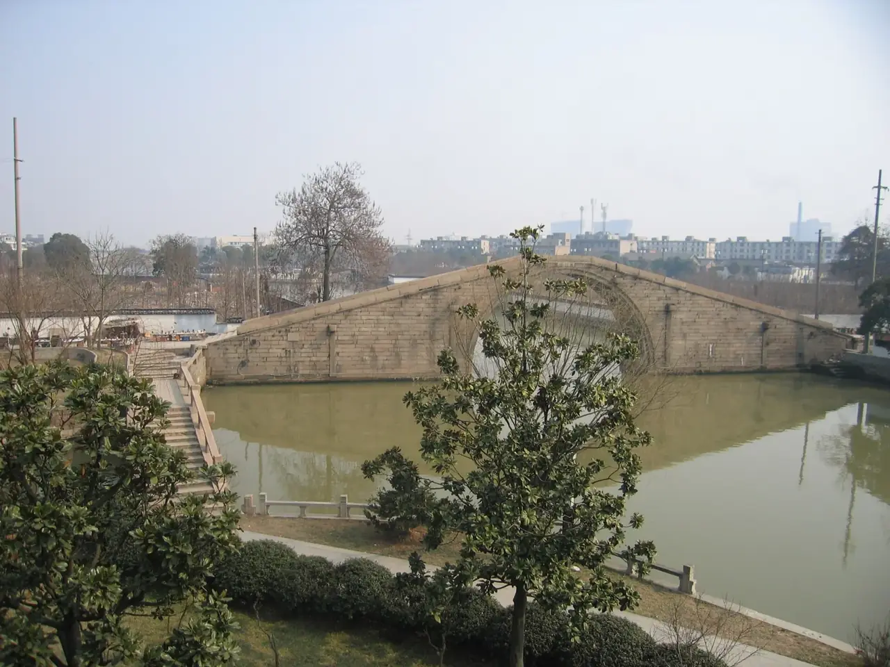
The Suzhou section joined local water to a long-distance system. Grain, raw materials, goods and travelers moved in and out.
Craft and markets grew through this circulation. Cultural reputation and material production belonged together.
03 / Space
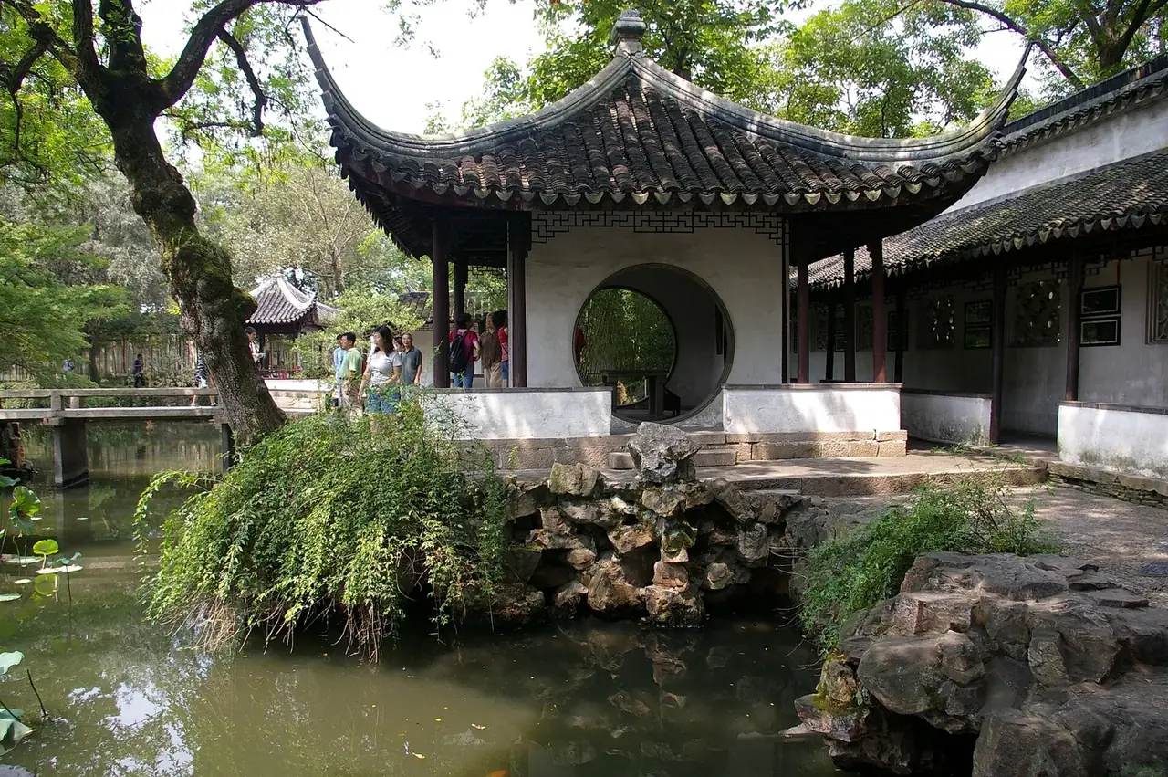
Gardens arranged architecture, water, rock, planting and views within limited residential plots. They depended on wealth, artisans and maintenance.
They never represented every resident. Workshops, docks and ordinary housing complete the urban picture.
04 / Today
The 1986 plan emphasized integrated protection, followed by laws covering walls, neighborhoods and water towns.
Conservation must balance housing, commerce, visitors, water and community continuity. Pingjiang Road matters because it remains more than scenery.
02 / Urban system
Conservation includes waterways, lanes, scale and continued use as well as façades.
Walls, canals and roads formed the old city.
The Grand Canal linked regional markets.
Silk and craft supported urban wealth.
Gardens turned small plots into walkable worlds.
03 / Selected exhibits
Open an exhibit to see how it supports the chapter.
The 1229 stone map records canals, streets and bridges.
See references ↓The waterway joined Suzhou to long-distance circulation.
See references ↓Architecture, water and views form designed wholes.
See references ↓Parallel canal and street still support public life.
See references ↓04 / IN ONE SENTENCE
05 / Sources
References support the historical facts, heritage information and city data used in this chapter. Photo creators, licenses and original files appear in the image credits.
Images resized and converted; display may be cropped.
Explore another
Related by geographic region and historical themes rather than random recommendation.
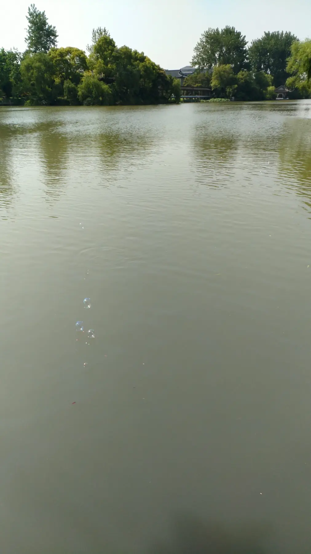
How did Yangzhou turn canal wealth into a refined and open urban culture?
Open chapter ↗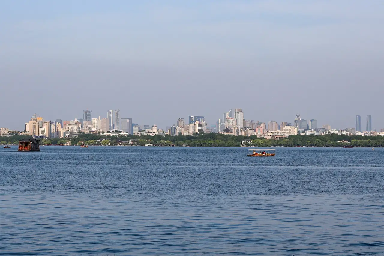
How did water become Hangzhou’s imagination?
Open chapter ↗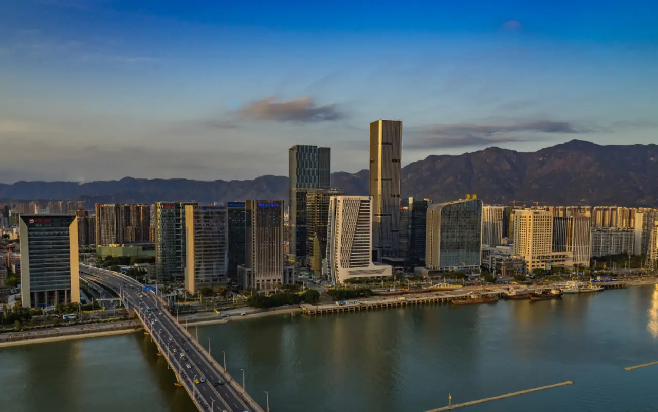
How did Fuzhou preserve neighborhood order while remaining open to the world between mountain and sea?
Open chapter ↗


