Why here
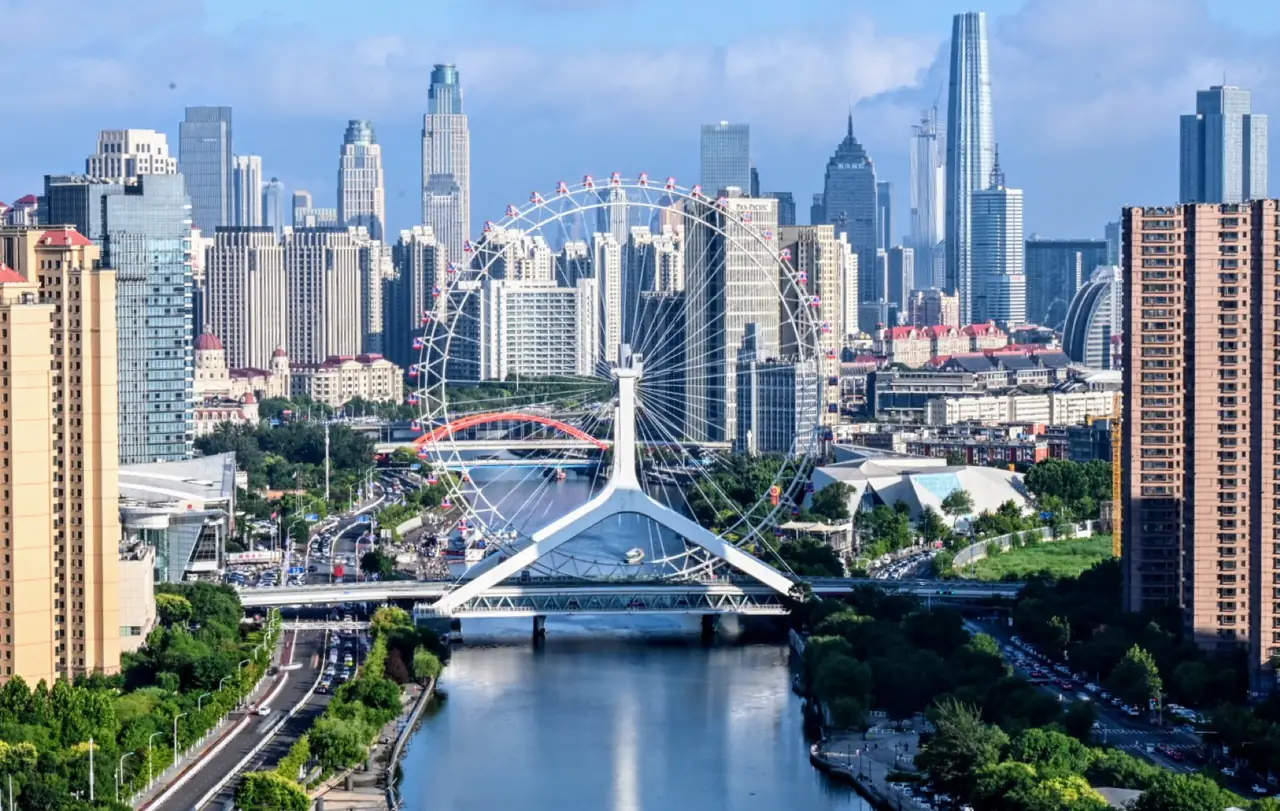
Canals meet the Hai at Sancha Hekou before Bohai, relaying inland and maritime transport.
CITY ATLAS / 30
The Hai River system, Grand Canal, garrison city, treaty port, industry and Binhai layer inland transport with global sea routes.
READING GUIDE
Start with the long-term force shaping the city, then move into chronology, urban systems and surviving evidence.
01 / Chapter
The northern and southern canals meet the Hai at Sancha Hekou; grain transport and defense encouraged a garrison city. Treaty-port opening brought concessions, docks, railways and factories along with war and lost sovereignty. Modern industry, commerce and Binhai port expanded Tianjin as Beijing’s gateway and a northern harbor.
THREE LENSES / THREE LENSES
Geography sets conditions, turning points redirect the path, and daily life carries long memory.
Canals meet the Hai at Sancha Hekou before Bohai, relaying inland and maritime transport.
Garrison, treaty-port opening, concessions and industry successively changed governance, districts and population.
Old city, worker districts, Hai public space and Tianjin Port preserve and reorganize a northern gateway.
CITY HISTORY / 城市时间
Tianjin grew through transfers: canal cargo to Hai River craft, inland movement to sea trade, and a garrison city to an industrial port metropolis.
The Grand Canal system made the confluence an important transfer point.
The Ming established the Tianjin garrison and walled city.
Treaty-port opening expanded concessions, docks and foreign trade.
Arsenals, rail, education and modern industry developed.
War, colonial control, national industry and social movements overlapped.
Industrial systems and Tianjin Port expanded toward Binhai.
01 / River and sea
Northern and southern canals meet the Hai, transferring inland goods toward Bohai. Proximity to Beijing added grain and defense roles.
Silting, flood and tide required management, while larger ships pushed port functions downstream.
02 / Treaty port
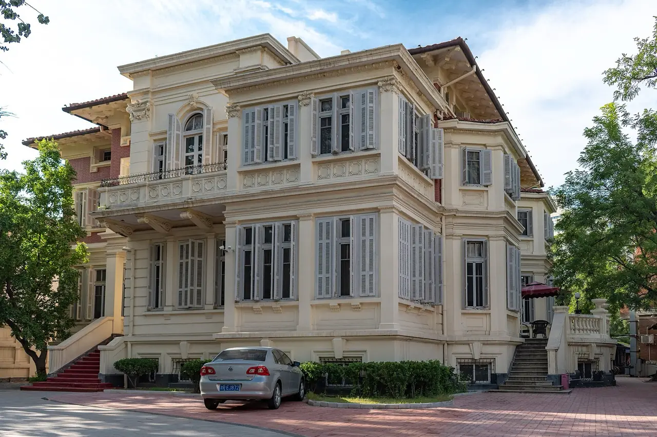
Concession roads, banks, homes and civic buildings show varied styles, but arose from imposed privilege and divided governance.
Architecture must be read with land control, lost sovereignty and the ways Chinese residents used, resisted and reclaimed space.
03 / Industry
Arsenals, textiles, flour, chemicals and transport drew workers and formed communities, commerce and new culture.
Industrial heritage includes labor memory, technical education and neighborhood life—not façades alone.

04 / Port city
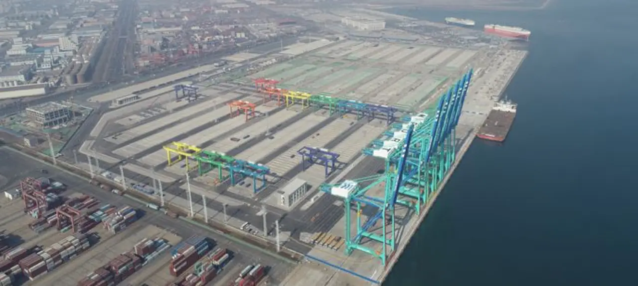
Tianjin Port and Binhai moved large-scale shipping, manufacturing and logistics seaward, creating a longer urban corridor.
Growth also links coastal ecology, river management, industrial transition and historic conservation.
02 / Urban system
Historic architecture must be read with colonial institutions, worker communities, national industry and river management.
Canal and Hai River created a transport and commercial node.
Defense and supply for Beijing encouraged city formation.
Concessions, rail, factories and finance reorganized space.
Binhai and the modern port extended the city toward Bohai.
03 / Selected exhibits
Open an exhibit to see how it supports the chapter.
Canal, river and sea transfer movement here.
See references ↓Neighborhoods record garrison, concessions and local reuse.
See references ↓Industrial labor changed population and daily life.
See references ↓The modern harbor links the hinterland to global shipping.
See references ↓04 / IN ONE SENTENCE
05 / Sources
References support the historical facts, heritage information and city data used in this chapter. Photo creators, licenses and original files appear in the image credits.
Images resized and converted; display may be cropped.
Explore another
Related by geographic region and historical themes rather than random recommendation.
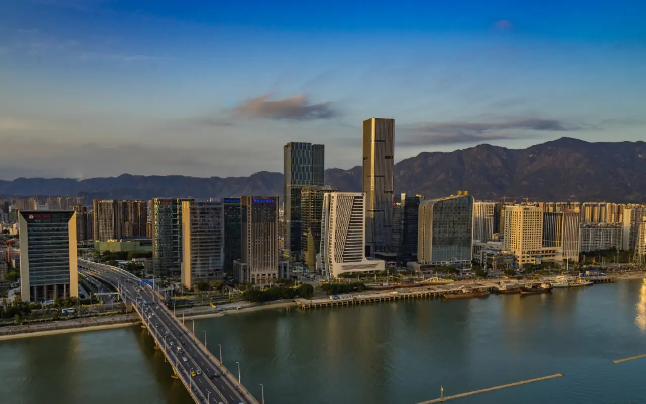
How did Fuzhou preserve neighborhood order while remaining open to the world between mountain and sea?
Open chapter ↗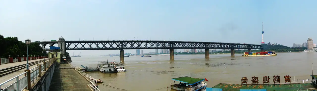
How were three towns stitched into one transport hub?
Open chapter ↗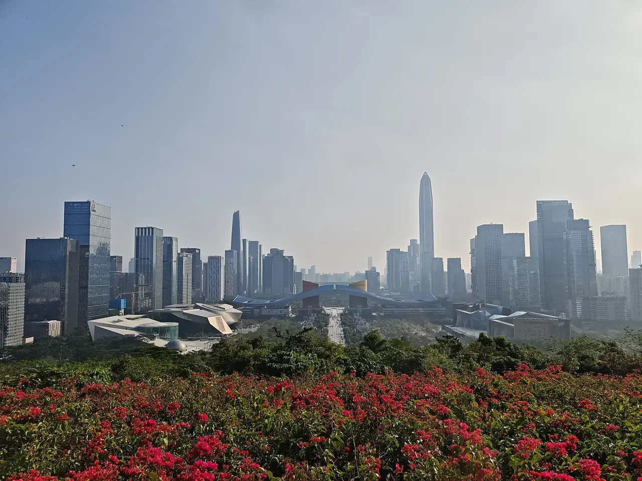
How did movement of people become Shenzhen’s capacity to innovate?
Open chapter ↗


