Why here
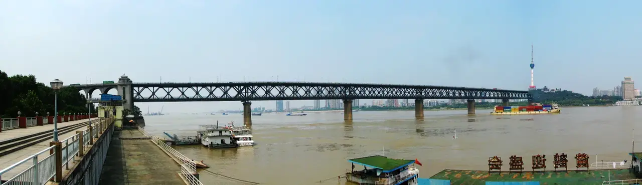
The Yangtze and Han divide Wuchang, Hankou and Hanyang while giving them reason to connect.
CITY ATLAS / 09
The Yangtze, Han River, docks, railways and bridges repeatedly changed the distance among Wuchang, Hanyang and Hankou.
READING GUIDE
Start with the long-term force shaping the city, then move into chronology, urban systems and surviving evidence.
01 / Chapter
The three towns developed differently. A changed Han River channel supported Hankou’s market, treaty-port trade and rail expanded movement, the towns merged in 1927, and the 1957 bridge joined north–south rail.
THREE LENSES / THREE LENSES
Geography sets conditions, turning points redirect the path, and daily life carries long memory.
The Yangtze and Han divide Wuchang, Hankou and Hanyang while giving them reason to connect.
Treaty-port trade, railways, industry and river crossings gradually organized the three towns into a modern hub.
Ferries, bridges, universities and riverfronts make crossing water a lasting theme of Wuhan life.
CITY HISTORY / 城市时间
Rivers created both separation and transport advantage. Each ferry, railway and bridge redefined the three towns.
Panlongcheng shows an early regional center.
A changed Han channel helped form Hankou.
Hankou formally opened as a treaty port.
Rail strengthened the national hub.
The three towns merged as Wuhan.
The Yangtze River Bridge opened.
01 / Water
The Yangtze and Han divided space while gathering goods from a huge hinterland. Wuchang, Hanyang and Hankou developed distinct roles.
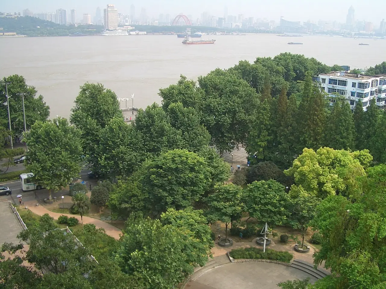
After the Han channel shifted, Hankou grew near the new confluence. Boat workers, porters, merchants and residents sustained docks and markets.
02 / Modern
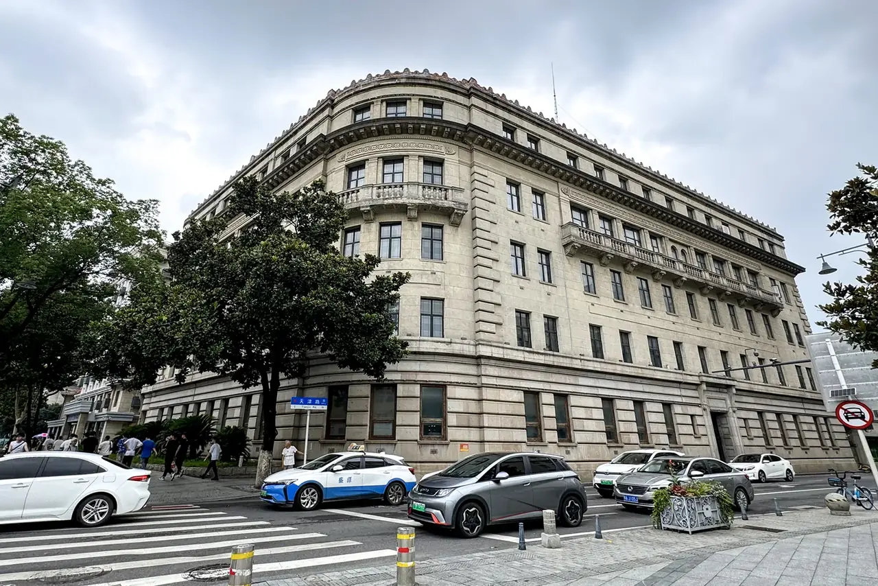
After 1861, commerce, finance and modern facilities expanded. The Beijing–Hankou Railway then linked the river market to north–south transport.
Growth also brought concessions, conflict and political movements. Railway and dock workers became central urban actors.
03 / Engineering
The 1957 bridge carried road above and rail below, joining Hanyang and Wuchang and allowing railways to cross the Yangtze.
Trains no longer depended on ferries. Continuity changed both urban movement and the national system.
04 / Today
More bridges, tunnels, metro lines and high-speed rail now bind the three towns. The rivers also bring flood risk, and public-health crises have tested the city.
A true hub must maintain, assist and recover. Riverfront parks and transport systems combine flood control, movement and public life.
02 / Urban system
Flood, war and public-health crises have also tested this connective system.
Rivers separated distinct urban functions.
Hankou docks gathered people and goods.
Major lines enlarged the national hub.
The 1957 road–rail bridge joined the network.
03 / Selected exhibits
Open an exhibit to see how it supports the chapter.
A Shang-period city site reveals early settlement networks.
See references ↓River trade made Hankou a major market town.
See references ↓The bridge linked Hanyang, Wuchang and national railways.
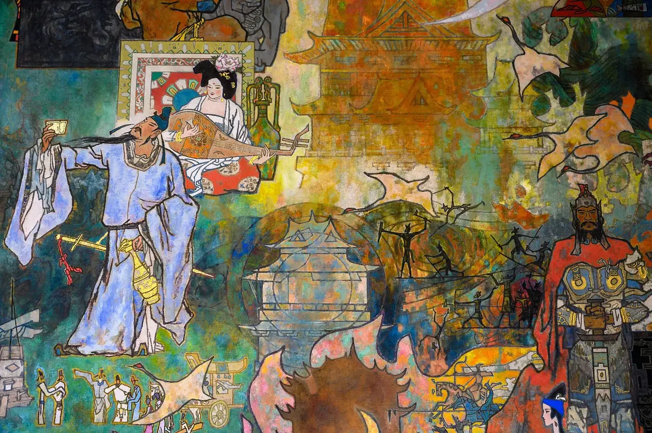
See references ↓Repeated rebuilding carries literary and civic memory.
See references ↓04 / IN ONE SENTENCE
05 / Sources
References support the historical facts, heritage information and city data used in this chapter. Photo creators, licenses and original files appear in the image credits.
Images resized and converted; display may be cropped.
Explore another
Related by geographic region and historical themes rather than random recommendation.
Why does Changsha repeatedly turn local culture into public expression?
Open chapter ↗
How did Fuzhou preserve neighborhood order while remaining open to the world between mountain and sea?
Open chapter ↗
Why has Zhengzhou repeatedly been rebuilt around the idea of a central position?
Open chapter ↗


